Sangla Hill night lights from space
Night Light of Sangla Hill (Punjab) from space (Pakistan) Src. Average luminocity for 10x10km area is 6.2454% and for 50x50km: 6.1459%.
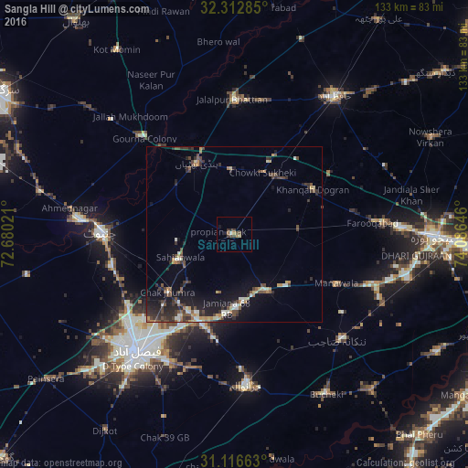
Analysis of Sangla Hill night lights 2016
Square area 10x10 km:
 0%
0%90-99
0.73%80-89
0.73%70-79
0%60-69
2.01%50-59
0.18%40-49
3.3%30-39
1.83%20-29
1.28%10-19
0.92%0-9
89.01%Square area 50x50 km:
0.21%90-99
0.93%80-89
0.58%70-79
0.7%60-69
0.69%50-59
0.79%40-49
1.73%30-39
1.43%20-29
2.07%10-19
4.28%0-9
86.59%Clear (daylight) street map image can be seen on geolist.org.
Map coordinates:
32° 18' 46.3" North, 72° 40' 48.8" East
31° 43' 0" North, 73° 22' 60" East
31° 6' 59.9" North, 74° 5' 11.3" East
Some cities around Sangla Hill sort by population:
• Shahkot
18.9 km =11.7 mi,  149°
149°
• Chak Jhumra
25.1 km =15.6 mi,  228°
228°
• Khurrianwala
26.5 km =16.5 mi,  204°
204°
• Pindi Bhattian
22.7 km =14.1 mi,  332°
332°
• Sukheke Mandi
20.3 km =12.6 mi,  35°
35°
• Khangah Dogran
26 km =16.2 mi,  60°
60°
• Mananwala
32.3 km =20.1 mi,  116°
116°
• Kaleke Mandi
35.4 km =22 mi, 35°
1166146 (p: 57,002)
Sources (retrieved 2019-11-25):
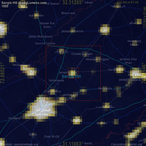
» NASA, Earths city lights 1995
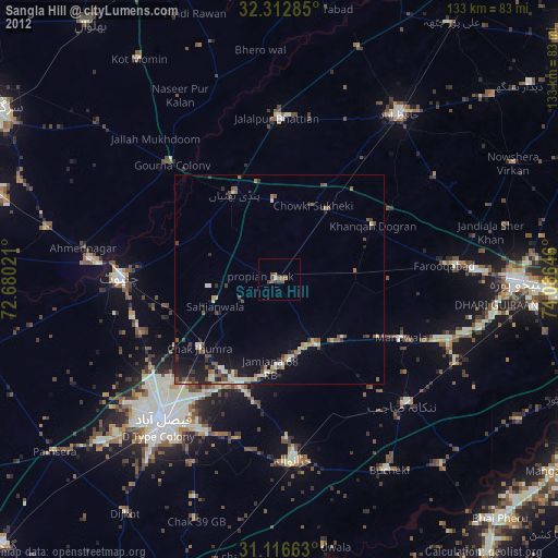
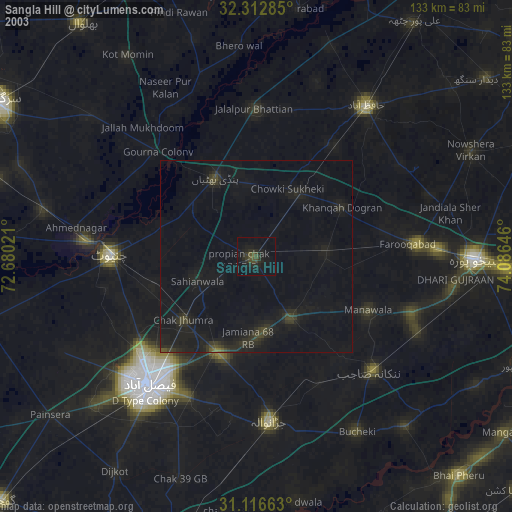
» NASA city lights 2003
» Earth at Night: Flat Maps 2012, 2016