Usta Muhammad night lights from space
Night Light of Usta Muhammad (Balochistan) from space (Pakistan) Src. Average luminocity for 10x10km area is 10.6964% and for 50x50km: 0.9334%.
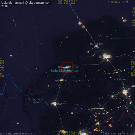
Analysis of Usta Muhammad night lights 2016
Square area 10x10 km:
 0.2%
0.2%90-99
0.6%80-89
0.79%70-79
2.18%60-69
1.19%50-59
2.98%40-49
3.37%30-39
0.2%20-29
6.55%10-19
2.58%0-9
79.37%Square area 50x50 km:
0.01%90-99
0.08%80-89
0.08%70-79
0.13%60-69
0.09%50-59
0.18%40-49
0.34%30-39
0.25%20-29
0.41%10-19
0.25%0-9
98.19%Clear (daylight) street map image can be seen on geolist.org.
Map coordinates:
28° 47' 42.8" North, 67° 20' 26" East
28° 10' 38" North, 68° 2' 37.2" East
27° 33' 20.3" North, 68° 44' 48.5" East
Some cities around Usta Muhammad sort by population:
• Jacobabad
40.3 km =25 mi,  73°
73°
• Shahdad Kot
39.1 km =24.3 mi,  200°
200°
• Ratodero
48.2 km =30 mi,  149°
149°
• Mehrabpur
7.9 km =4.9 mi,  192°
192°
• Garhiyasin
55 km =34.2 mi,  123°
123°
• Madeji
61.9 km =38.5 mi,  139°
139°
• Garhi Khairo
14.4 km =8.9 mi,  205°
205°
• Miro Khan
46.6 km =29 mi,  174°
174°
1162868 (p: 43,983)
Sources (retrieved 2019-11-25):
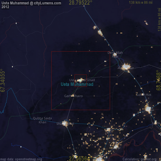
» Earth at Night: Flat Maps 2012, 2016