Gilgit night lights from space
Night Light of Gilgit (Gilgit-Baltistan) from space (Pakistan) Src. Average luminocity for 10x10km area is 23.2381% and for 50x50km: 1.605%.
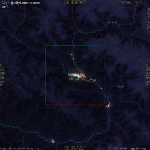
Analysis of Gilgit night lights 2016
Square area 10x10 km:
 0.55%
0.55%90-99
6.78%80-89
2.2%70-79
1.83%60-69
3.48%50-59
4.4%40-49
3.66%30-39
1.28%20-29
2.38%10-19
24.91%0-9
48.53%Square area 50x50 km:
0.02%90-99
0.26%80-89
0.08%70-79
0.1%60-69
0.3%50-59
0.45%40-49
0.37%30-39
0.23%20-29
0.31%10-19
1.32%0-9
96.56%Clear (daylight) street map image can be seen on geolist.org.
Map coordinates:
36° 29' 9.8" North, 73° 36' 33.6" East
35° 55' 7.3" North, 74° 18' 44.8" East
35° 20' 50" North, 75° 0' 56.1" East
Some cities around Gilgit sort by population:
• Muzaffarābād
188.4 km =117.1 mi,  203°
203°
• Battagram
180.9 km =112.4 mi,  220°
220°
• Bāramūla, IN
190.1 km =118.1 mi,  179°
179°
• Sopur, IN
182 km =113.1 mi, 175°
• Bandipura, IN
169.6 km =105.4 mi,  169°
169°
• Baffa
192.1 km =119.4 mi,  211°
211°
• Sumbal, IN
190.1 km =118.1 mi, 170°
• Hājan, IN
182.2 km =113.2 mi, 171°
1178338 (p: 10,414)
Sources (retrieved 2019-11-25):
» Earth at Night: Flat Maps 2012, 2016