Battagram night lights from space
Night Light of Battagram (Khyber Pakhtunkhwa) from space (Pakistan) Src. Average luminocity for 10x10km area is 0.7517% and for 50x50km: 0.2864%.
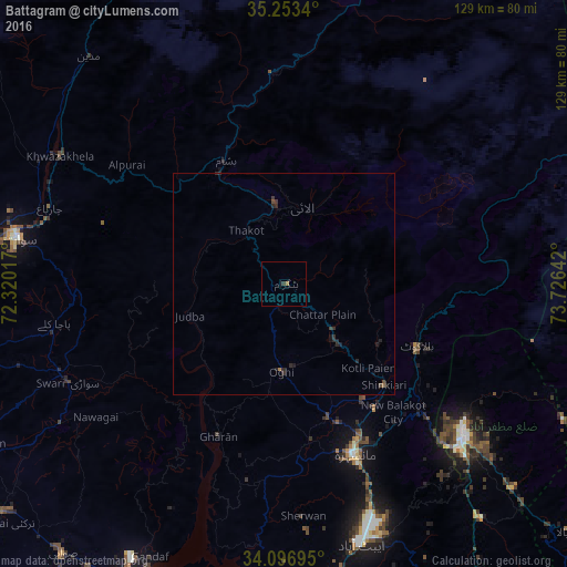
Analysis of Battagram night lights 2016
Square area 10x10 km:
 0%
0%90-99
0%80-89
0%70-79
0%60-69
0.7%50-59
0%40-49
0%30-39
0.7%20-29
0%10-19
0%0-9
98.6%Square area 50x50 km:
0%90-99
0%80-89
0%70-79
0%60-69
0.06%50-59
0.03%40-49
0.08%30-39
0.15%20-29
0.34%10-19
0.18%0-9
99.17%Clear (daylight) street map image can be seen on geolist.org.
Map coordinates:
35° 15' 12.2" North, 72° 19' 12.6" East
34° 40' 37.9" North, 73° 1' 23.8" East
34° 5' 49" North, 73° 43' 35.1" East
Some cities around Battagram sort by population:
• Muzaffarābād
53.4 km =33.2 mi,  129°
129°
• Mingora
61.4 km =38.2 mi,  280°
280°
• Abbottabad
61.5 km =38.2 mi,  163°
163°
• Mansehra
41.7 km =25.9 mi, 157°
• Haripur
76 km =47.2 mi,  186°
186°
• Havelian
70.5 km =43.8 mi,  169°
169°
• Khalabat
69.7 km =43.3 mi, 190°
• Baffa
32.3 km =20.1 mi,  145°
145°
1183105 (p: 700,000)
Sources (retrieved 2019-11-25):
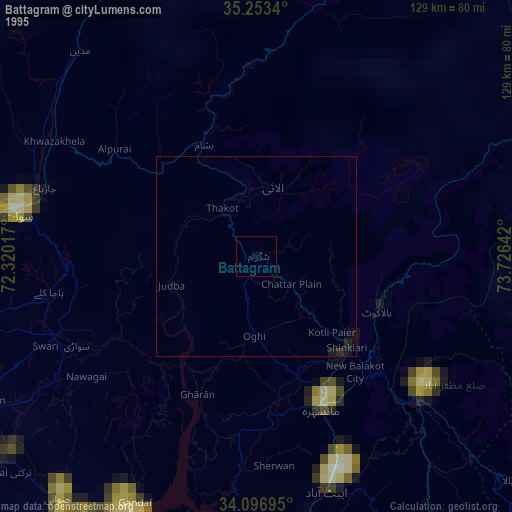
» NASA, Earths city lights 1995
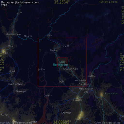
» NASA city lights 2003
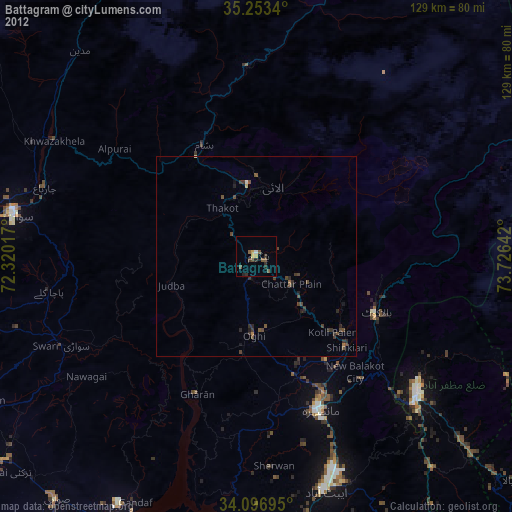
» Earth at Night: Flat Maps 2012, 2016