Bāramūla night lights from space
Night Light of Bāramūla (Jammu and Kashmir) from space (India) Src. Average luminocity for 10x10km area is 25.7106% and for 50x50km: 5.2712%.
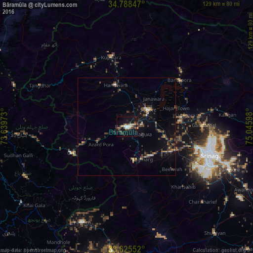
Analysis of Bāramūla night lights 2016
Square area 10x10 km:
 2.56%
2.56%90-99
4.76%80-89
3.11%70-79
2.01%60-69
1.28%50-59
2.38%40-49
7.51%30-39
4.76%20-29
3.85%10-19
35.71%0-9
32.05%Square area 50x50 km:
0.14%90-99
0.6%80-89
0.45%70-79
0.44%60-69
0.44%50-59
0.73%40-49
1.55%30-39
1.42%20-29
1.51%10-19
4.51%0-9
88.2%Clear (daylight) street map image can be seen on geolist.org.
Map coordinates:
34° 47' 18.5" North, 73° 38' 23" East
34° 12' 32.4" North, 74° 20' 34.3" East
33° 37' 31.9" North, 75° 2' 45.5" East
Some cities around Bāramūla sort by population:
• Soyībug
36.5 km =22.7 mi,  113°
113°
• Sopur
14.7 km =9.1 mi,  54°
54°
• Bandipura
36 km =22.4 mi, 49°
• Pattan
20.3 km =12.6 mi, 105°
• Kupwāra
21.1 km =13.1 mi,  200°
200°
• Sumbal
28.1 km =17.5 mi,  85°
85°
• Hājan
27.1 km =16.8 mi,  68°
68°
• Uri
30.4 km =18.9 mi,  242°
242°
1277085 (p: 77,276)
Sources (retrieved 2019-11-25):
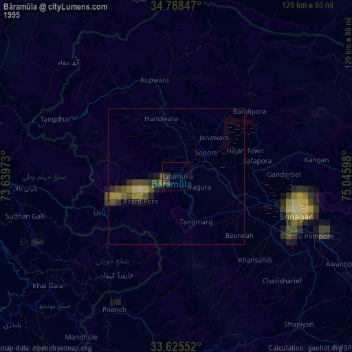
» NASA, Earths city lights 1995
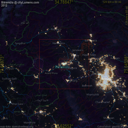
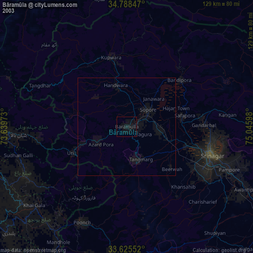
» NASA city lights 2003
» Earth at Night: Flat Maps 2012, 2016