Muzaffarābād night lights from space
Night Light of Muzaffarābād (Azad Kashmir) from space (Pakistan) Src. Average luminocity for 10x10km area is 46.2289% and for 50x50km: 6.5958%.
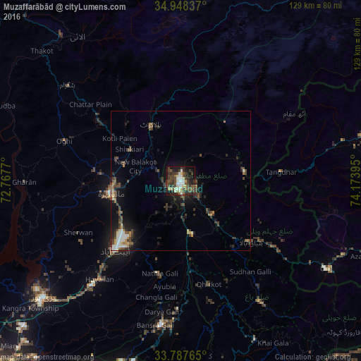
Analysis of Muzaffarābād night lights 2016
Square area 10x10 km:
 3.3%
3.3%90-99
12.64%80-89
6.41%70-79
1.65%60-69
2.93%50-59
7.88%40-49
15.93%30-39
14.47%20-29
12.09%10-19
20.51%0-9
2.2%Square area 50x50 km:
0.37%90-99
1.26%80-89
0.6%70-79
0.44%60-69
0.56%50-59
1.07%40-49
1.91%30-39
1.81%20-29
1.89%10-19
4.71%0-9
85.36%Clear (daylight) street map image can be seen on geolist.org.
Map coordinates:
34° 56' 54.1" North, 72° 46' 3.7" East
34° 22' 12.1" North, 73° 28' 15" East
33° 47' 15.5" North, 74° 10' 26.2" East
Some cities around Muzaffarābād sort by population:
• Battagram
53.4 km =33.2 mi,  309°
309°
• Abbottabad
34.4 km =21.4 mi,  223°
223°
• Mansehra
25.5 km =15.8 mi,  260°
260°
• Rawala Kot
62.9 km =39.1 mi,  154°
154°
• Havelian
45.3 km =28.1 mi, 219°
• Murree
51.9 km =32.2 mi,  188°
188°
• Baffa
23.9 km =14.9 mi,  288°
288°
• Uri, IN
62.3 km =38.7 mi,  121°
121°
1169607 (p: 725,000)
Sources (retrieved 2019-11-25):
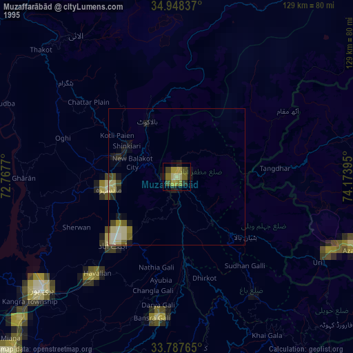
» NASA, Earths city lights 1995
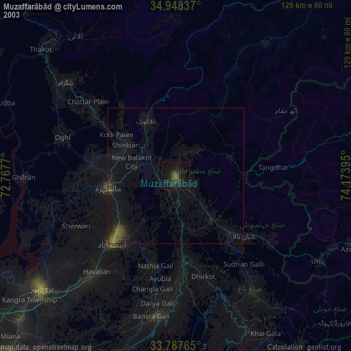
» NASA city lights 2003
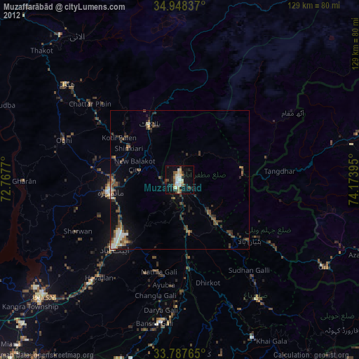
» Earth at Night: Flat Maps 2012, 2016