Dalbandin night lights from space
Night Light of Dalbandin (Balochistan) from space (Pakistan) Src. Average luminocity for 10x10km area is 0.9792% and for 50x50km: 0.039%.
Analysis of Dalbandin night lights 2016
Square area 10x10 km:
 0%
0%90-99
0%80-89
0%70-79
0%60-69
0.19%50-59
0.57%40-49
0%30-39
0.76%20-29
0.38%10-19
0.38%0-9
97.73%Square area 50x50 km:
0%90-99
0%80-89
0%70-79
0%60-69
0.01%50-59
0.02%40-49
0%30-39
0.03%20-29
0.01%10-19
0.01%0-9
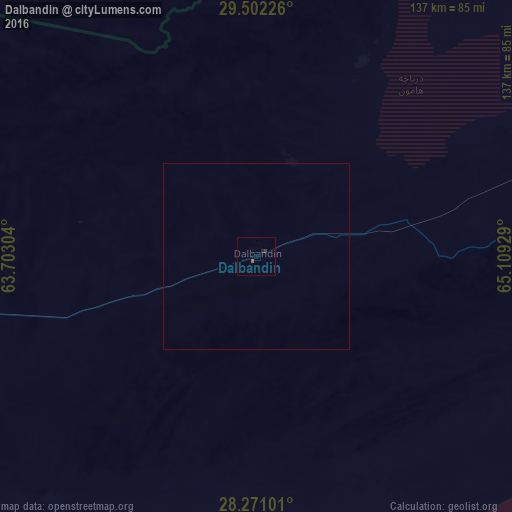
99.91%Clear (daylight) street map image can be seen on geolist.org.
Map coordinates:
29° 30' 8.1" North, 63° 42' 10.9" East
28° 53' 18.5" North, 64° 24' 22.2" East
28° 16' 15.6" North, 65° 6' 33.4" East
Some cities around Dalbandin sort by population:
• Khuzdar
246.7 km =153.3 mi,  119°
119°
• Kharan
104 km =64.6 mi,  108°
108°
• Nushki
173.4 km =107.7 mi,  64°
64°
• Kalat
213.4 km =132.6 mi,  85°
85°
• Surab
186.1 km =115.6 mi,  103°
103°
• Rūdbār, AF
224.1 km =139.2 mi,  308°
308°
• ‘Alāqahdārī Dīshū, AF
202.3 km =125.7 mi,  328°
328°
• Markaz-e Ḩukūmat-e Darwēshān, AF
250.3 km =155.5 mi,  355°
355°
1180729 (p: 14,621)
Sources (retrieved 2019-11-25):
» Earth at Night: Flat Maps 2012, 2016