Chak One Hundred Twenty Nine Left night lights from space
Night Light of Chak One Hundred Twenty Nine Left (Punjab) from space (Pakistan) Src. Average luminocity for 10x10km area is 1.5861% and for 50x50km: 4.3786%.
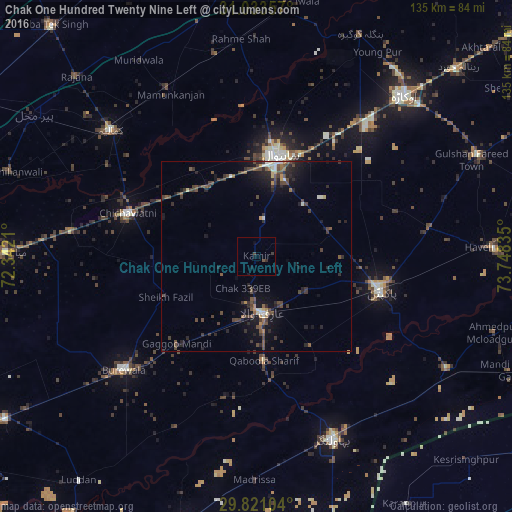
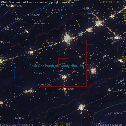
Analysis of Chak One Hundred Twenty Nine Left night lights 2016
Square area 10x10 km:
 0%
0%90-99
0%80-89
0%70-79
0%60-69
0%50-59
0.73%40-49
0%30-39
1.83%20-29
0.37%10-19
0.73%0-9
96.34%Square area 50x50 km:
0.11%90-99
0.49%80-89
0.19%70-79
0.28%60-69
0.33%50-59
0.82%40-49
1.9%30-39
1.21%20-29
1.7%10-19
3.12%0-9
89.85%Clear (daylight) street map image can be seen on geolist.org.
Map coordinates:
31° 2' 0.9" North, 72° 20' 31.6" East
30° 25' 45.1" North, 73° 2' 42.8" East
29° 49' 15.7" North, 73° 44' 54.1" East
Some cities around Chak One Hundred Twenty Nine Left sort by population:
• Sahiwal
26.9 km =16.7 mi,  11°
11°
• Būrewāla
47.9 km =29.8 mi,  232°
232°
• Pakpattan
34.4 km =21.4 mi,  106°
106°
• Bahawalnagar
51.9 km =32.2 mi,  157°
157°
• Kamalia
50.6 km =31.4 mi,  310°
310°
• Arifwala
15.5 km =9.6 mi,  172°
172°
• Chichawatni
35.7 km =22.2 mi,  288°
288°
• Mamu Kanjan
50.4 km =31.3 mi,  332°
332°
1175098 (p: 24,053)
Sources (retrieved 2019-11-25):
» Earth at Night: Flat Maps 2012, 2016