Sahiwal night lights from space
Night Light of Sahiwal (Punjab) from space (Pakistan) Src. Average luminocity for 10x10km area is 56.1731% and for 50x50km: 6.7383%.
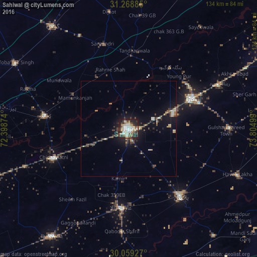
Analysis of Sahiwal night lights 2016
Square area 10x10 km:
 8.04%
8.04%90-99
21.68%80-89
4.2%70-79
6.47%60-69
3.32%50-59
7.17%40-49
10.49%30-39
5.77%20-29
20.28%10-19
12.59%0-9
0%Square area 50x50 km:
0.46%90-99
1.51%80-89
0.36%70-79
0.76%60-69
0.52%50-59
0.77%40-49
1.68%30-39
1.37%20-29
1.92%10-19
5.2%0-9
85.44%Clear (daylight) street map image can be seen on geolist.org.
Map coordinates:
31° 16' 7.9" North, 72° 23' 55.5" East
30° 39' 57.4" North, 73° 6' 6.7" East
30° 3' 33.4" North, 73° 48' 18" East
Some cities around Sahiwal sort by population:
• Okara
37.1 km =23.1 mi,  64°
64°
• Kamalia
44.1 km =27.4 mi,  278°
278°
• Arifwala
41.9 km =26 mi,  184°
184°
• Chichawatni
42.1 km =26.2 mi,  248°
248°
• Tandlianwala
41 km =25.5 mi,  4°
4°
• Chak Azam Sahu
11.9 km =7.4 mi,  323°
323°
• Mamu Kanjan
34.2 km =21.3 mi,  302°
302°
• Chak One Hundred Twenty Nine Left
26.9 km =16.7 mi,  191°
191°
1166548 (p: 235,695)
Sources (retrieved 2019-11-25):
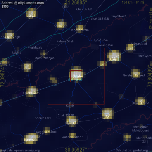
» NASA, Earths city lights 1995
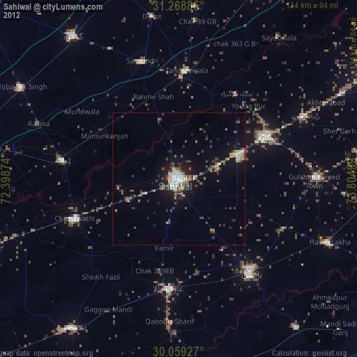
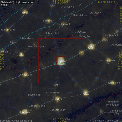
» NASA city lights 2003
» Earth at Night: Flat Maps 2012, 2016