Vintar night lights from space
Night Light of Vintar (Ilocos) from space (Philippines) Src. Average luminocity for 10x10km area is 8.8593% and for 50x50km: 1.8348%.
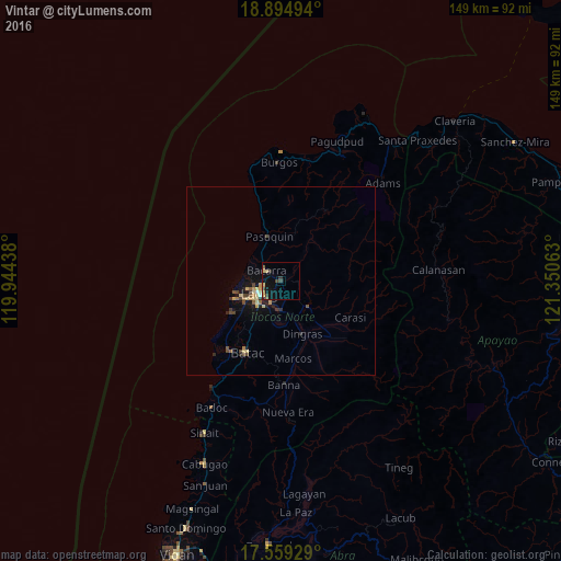
Analysis of Vintar night lights 2016
Square area 10x10 km:
 0%
0%90-99
0%80-89
2.81%70-79
1.52%60-69
0%50-59
1.3%40-49
1.3%30-39
3.03%20-29
0.87%10-19
8.01%0-9
81.17%Square area 50x50 km:
0.05%90-99
0.03%80-89
0.46%70-79
0.34%60-69
0.14%50-59
0.22%40-49
0.46%30-39
0.35%20-29
0.3%10-19
1.55%0-9
96.11%Clear (daylight) street map image can be seen on geolist.org.
Map coordinates:
18° 53' 41.8" North, 119° 56' 39.8" East
18° 13' 42.2" North, 120° 38' 51" East
17° 33' 33.4" North, 121° 21' 2.3" East
Some cities around Vintar sort by population:
• Laoag
6.4 km =4 mi,  238°
238°
• Batac City
21.1 km =13.1 mi,  204°
204°
• San Nicolas
8.3 km =5.2 mi,  221°
221°
• Bacarra
4.6 km =2.9 mi,  306°
306°
• Cabugao
52.4 km =32.6 mi, 202°
• Dingras
14.9 km =9.3 mi,  159°
159°
• Sarrat
7.9 km =4.9 mi,  180°
180°
• Pasuquin
12 km =7.5 mi,  344°
344°
1679815 (p: 5,263)
Sources (retrieved 2019-11-25):
» Earth at Night: Flat Maps 2012, 2016