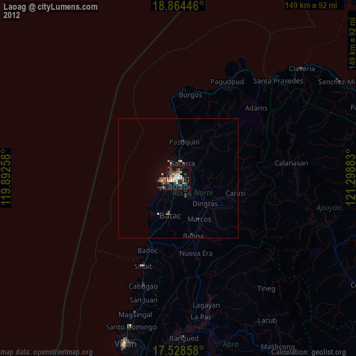
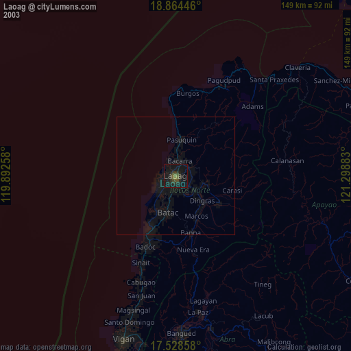
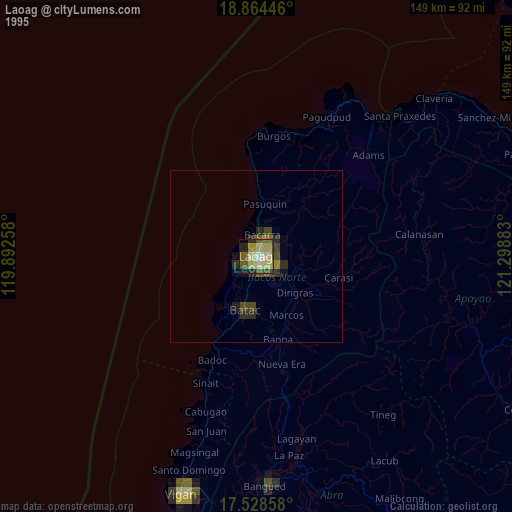
Laoag night lights from space
Night Light of Laoag (Ilocos) from space (Philippines) Src. Average luminocity for 10x10km area is 28.987% and for 50x50km: 1.8545%.

Analysis of Laoag night lights 2016
Square area 10x10 km:
 1.3%
1.3%90-99
0.87%80-89
8.23%70-79
8.44%60-69
1.95%50-59
3.68%40-49
3.25%30-39
4.98%20-29
2.6%10-19
35.06%0-9
29.65%Square area 50x50 km:
0.05%90-99
0.03%80-89
0.46%70-79
0.34%60-69
0.14%50-59
0.22%40-49
0.46%30-39
0.35%20-29
0.36%10-19
1.56%0-9
96.03%Clear (daylight) street map image can be seen on geolist.org.
Map coordinates:
18° 51' 52.1" North, 119° 53' 33.3" East
18° 11' 52.1" North, 120° 35' 44.5" East
17° 31' 42.9" North, 121° 17' 55.8" East
Some cities around Laoag sort by population:
• Batac City
16.2 km =10.1 mi,  191°
191°
• San Nicolas
2.8 km =1.7 mi,  180°
180°
• Bacarra
6.4 km =4 mi,  16°
16°
• Cabugao
47.3 km =29.4 mi,  197°
197°
• Dingras
15 km =9.3 mi,  134°
134°
• Sarrat
7 km =4.3 mi, 129°
• Pasuquin
15.2 km =9.4 mi,  8°
8°
• Vintar
6.4 km =4 mi,  58°
58°
1707404 (p: 102,105)
Sources (retrieved 2019-11-25):
» NASA, Earths city lights 1995
» NASA city lights 2003
» Earth at Night: Flat Maps 2012, 2016