Sarrat night lights from space
Night Light of Sarrat (Ilocos) from space (Philippines) Src. Average luminocity for 10x10km area is 6.4545% and for 50x50km: 1.8576%.
Analysis of Sarrat night lights 2016
Square area 10x10 km:
 0%
0%90-99
0%80-89
1.52%70-79
1.52%60-69
0%50-59
0.87%40-49
0%30-39
1.73%20-29
2.38%10-19
7.14%0-9
84.85%Square area 50x50 km:
0.05%90-99
0.03%80-89
0.46%70-79
0.34%60-69
0.14%50-59
0.22%40-49
0.46%30-39
0.35%20-29
0.36%10-19
1.58%0-9
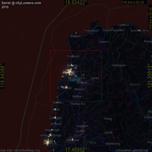
96.02%Clear (daylight) street map image can be seen on geolist.org.
Map coordinates:
18° 49' 27.2" North, 119° 56' 38" East
18° 9' 26.6" North, 120° 38' 49.2" East
17° 29' 16.9" North, 121° 21' 0.5" East
Some cities around Sarrat sort by population:
• Laoag
7 km =4.3 mi,  309°
309°
• Batac City
14.3 km =8.9 mi,  217°
217°
• San Nicolas
5.7 km =3.5 mi,  287°
287°
• Bacarra
11.2 km =7 mi,  341°
341°
• Cabugao
45.2 km =28.1 mi,  206°
206°
• Dingras
8 km =5 mi,  138°
138°
• Pasuquin
19.7 km =12.2 mi,  350°
350°
• Vintar
7.9 km =4.9 mi,  0°
0°
1687147 (p: 5,822)
Sources (retrieved 2019-11-25):
» Earth at Night: Flat Maps 2012, 2016