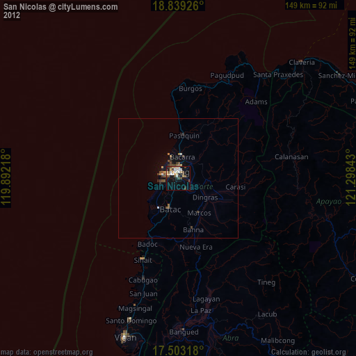
San Nicolas night lights from space
Night Light of San Nicolas (Ilocos) from space (Philippines) Src. Average luminocity for 10x10km area is 25.8268% and for 50x50km: 1.8574%.
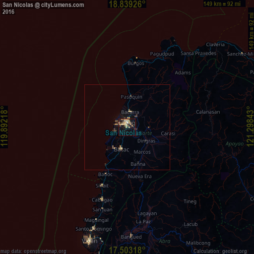
Analysis of San Nicolas night lights 2016
Square area 10x10 km:
 1.3%
1.3%90-99
0.87%80-89
8.23%70-79
6.71%60-69
1.95%50-59
3.68%40-49
2.16%30-39
4.76%20-29
2.6%10-19
23.59%0-9
44.16%Square area 50x50 km:
0.05%90-99
0.03%80-89
0.46%70-79
0.34%60-69
0.14%50-59
0.22%40-49
0.46%30-39
0.35%20-29
0.36%10-19
1.58%0-9
96.02%Clear (daylight) street map image can be seen on geolist.org.
Map coordinates:
18° 50' 21.3" North, 119° 53' 31.8" East
18° 10' 21" North, 120° 35' 43.1" East
17° 30' 11.4" North, 121° 17' 54.3" East
Some cities around San Nicolas sort by population:
• Laoag
2.8 km =1.7 mi,  0°
0°
• Batac City
13.4 km =8.3 mi,  193°
193°
• Bacarra
9.1 km =5.7 mi,  11°
11°
• Cabugao
44.6 km =27.7 mi,  199°
199°
• Dingras
13.2 km =8.2 mi,  125°
125°
• Sarrat
5.7 km =3.5 mi,  107°
107°
• Pasuquin
18 km =11.2 mi, 7°
• Vintar
8.3 km =5.2 mi,  41°
41°
1688859 (p: 34,237)
Sources (retrieved 2019-11-25):
» Earth at Night: Flat Maps 2012, 2016