Bacarra night lights from space
Night Light of Bacarra (Ilocos) from space (Philippines) Src. Average luminocity for 10x10km area is 9.7359% and for 50x50km: 1.8324%.
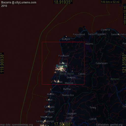
Analysis of Bacarra night lights 2016
Square area 10x10 km:
 0%
0%90-99
0%80-89
1.73%70-79
3.25%60-69
0%50-59
1.3%40-49
1.95%30-39
1.95%20-29
0.87%10-19
10.82%0-9
78.14%Square area 50x50 km:
0.05%90-99
0.03%80-89
0.46%70-79
0.34%60-69
0.14%50-59
0.22%40-49
0.46%30-39
0.35%20-29
0.3%10-19
1.55%0-9
96.11%Clear (daylight) street map image can be seen on geolist.org.
Map coordinates:
18° 55' 9.7" North, 119° 54' 33.8" East
18° 15' 10.4" North, 120° 36' 45" East
17° 35' 2" North, 121° 18' 56.3" East
Some cities around Bacarra sort by population:
• Laoag
6.4 km =4 mi,  196°
196°
• Batac City
22.5 km =14 mi,  192°
192°
• San Nicolas
9.1 km =5.7 mi, 191°
• Cabugao
53.7 km =33.4 mi, 197°
• Dingras
18.9 km =11.7 mi,  151°
151°
• Sarrat
11.2 km =7 mi,  161°
161°
• Pasuquin
8.9 km =5.5 mi,  3°
3°
• Vintar
4.6 km =2.9 mi,  126°
126°
1729655 (p: 9,636)
Sources (retrieved 2019-11-25):
» Earth at Night: Flat Maps 2012, 2016