Tayaman night lights from space
Night Light of Tayaman (Mimaropa) from space (Philippines) Src. Average luminocity for 10x10km area is 2.3918% and for 50x50km: 0.1207%.
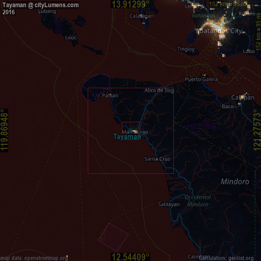
Analysis of Tayaman night lights 2016
Square area 10x10 km:
 0%
0%90-99
0%80-89
0%70-79
0.87%60-69
0.87%50-59
0%40-49
0.87%30-39
1.73%20-29
0.87%10-19
0%0-9
94.81%Square area 50x50 km:
0%90-99
0%80-89
0%70-79
0.03%60-69
0.03%50-59
0%40-49
0.07%30-39
0.07%20-29
0.07%10-19
0.03%0-9
99.71%Clear (daylight) street map image can be seen on geolist.org.
Map coordinates:
13° 54' 46.8" North, 119° 52' 10.1" East
13° 13' 46.2" North, 120° 34' 21.4" East
12° 32' 38.7" North, 121° 16' 32.6" East
Some cities around Tayaman sort by population:
• Calapan
68.8 km =42.8 mi,  72°
72°
• Sablayan
48.8 km =30.3 mi,  154°
154°
• Mamburao
2.6 km =1.6 mi,  105°
105°
• Calatagan
67.3 km =41.8 mi,  5°
5°
• Santa Cruz
23.8 km =14.8 mi,  136°
136°
• Canubing No 2
62.1 km =38.6 mi,  77°
77°
• Ligaya
72.2 km =44.9 mi, 151°
• Barahan
31.7 km =19.7 mi, 139°
1682649 (p: 5,050)
Sources (retrieved 2019-11-25):
» Earth at Night: Flat Maps 2012, 2016