Ligaya night lights from space
Night Light of Ligaya (Mimaropa) from space (Philippines) Src. Average luminocity for 10x10km area is 0% and for 50x50km: 0%.
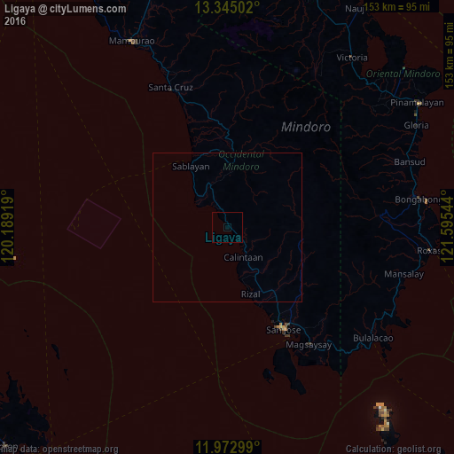
Analysis of Ligaya night lights 2016
Square area 10x10 km:
 0%
0%90-99
0%80-89
0%70-79
0%60-69
0%50-59
0%40-49
0%30-39
0%20-29
0%10-19
0%0-9
100%Square area 50x50 km:
0%90-99
0%80-89
0%70-79
0%60-69
0%50-59
0%40-49
0%30-39
0%20-29
0%10-19
0%0-9
100%Clear (daylight) street map image can be seen on geolist.org.
Map coordinates:
13° 20' 42.1" North, 120° 11' 21.1" East
12° 39' 35.7" North, 120° 53' 32.3" East
11° 58' 22.8" North, 121° 35' 43.6" East
Some cities around Ligaya sort by population:
• San Jose
39.1 km =24.3 mi,  150°
150°
• Sablayan
23.6 km =14.7 mi,  325°
325°
• Calintaan
11.3 km =7 mi,  156°
156°
• Caminauit
42 km =26.1 mi, 150°
• Santa Cruz
49.5 km =30.8 mi,  338°
338°
• Magsaysay
45.8 km =28.5 mi,  142°
142°
• Barahan
41.6 km =25.8 mi, 340°
• Bagong Sikat
37.4 km =23.2 mi, 150°
1706468 (p: 8,431)
Sources (retrieved 2019-11-25):
» Earth at Night: Flat Maps 2012, 2016