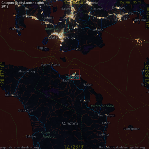
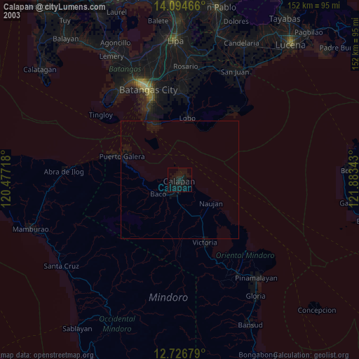
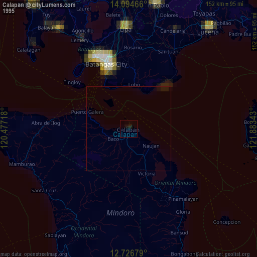
Calapan night lights from space
Night Light of Calapan (Mimaropa) from space (Philippines) Src. Average luminocity for 10x10km area is 5.436% and for 50x50km: 0.3561%.
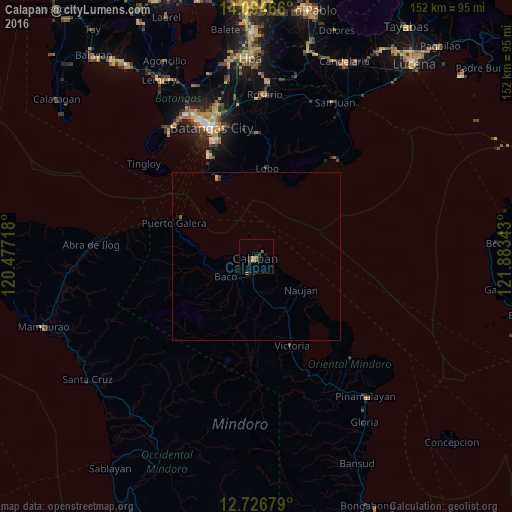
Analysis of Calapan night lights 2016
Square area 10x10 km:
 0%
0%90-99
0%80-89
0%70-79
2.07%60-69
0.83%50-59
1.03%40-49
0.83%30-39
3.1%20-29
1.24%10-19
2.27%0-9
88.64%Square area 50x50 km:
0%90-99
0%80-89
0.03%70-79
0.13%60-69
0.03%50-59
0.07%40-49
0.04%30-39
0.18%20-29
0.07%10-19
0.17%0-9
99.26%Clear (daylight) street map image can be seen on geolist.org.
Map coordinates:
14° 5' 40.8" North, 120° 28' 37.8" East
13° 24' 42.1" North, 121° 10' 49.1" East
12° 43' 36.4" North, 121° 53' 0.3" East
Some cities around Calapan sort by population:
• Batangas
40.6 km =25.2 mi,  341°
341°
• Victoria
28.1 km =17.5 mi,  157°
157°
• Santa Rita Aplaya
43 km =26.7 mi, 338°
• Canubing No 2
8.5 km =5.3 mi,  216°
216°
• Ibaan
45.4 km =28.2 mi,  353°
353°
• Laiya
38.2 km =23.7 mi,  38°
38°
• Socorro
45 km =28 mi,  148°
148°
• Calubcub Dos
44.8 km =27.8 mi, 35°
1720561 (p: 66,008)
Sources (retrieved 2019-11-25):
» NASA, Earths city lights 1995
» NASA city lights 2003
» Earth at Night: Flat Maps 2012, 2016