Mamburao night lights from space
Night Light of Mamburao (Mimaropa) from space (Philippines) Src. Average luminocity for 10x10km area is 2.4177% and for 50x50km: 0.1206%.
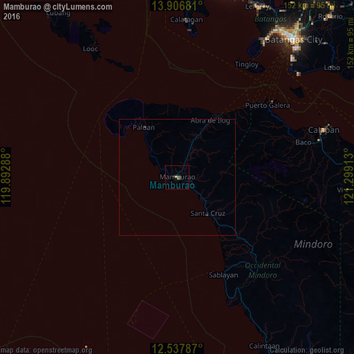
Analysis of Mamburao night lights 2016
Square area 10x10 km:
 0%
0%90-99
0%80-89
0%70-79
0.87%60-69
0.87%50-59
0%40-49
0.87%30-39
1.73%20-29
0.87%10-19
0%0-9
94.81%Square area 50x50 km:
0%90-99
0%80-89
0%70-79
0.03%60-69
0.03%50-59
0%40-49
0.07%30-39
0.07%20-29
0.07%10-19
0.03%0-9
99.71%Clear (daylight) street map image can be seen on geolist.org.
Map coordinates:
13° 54' 24.5" North, 119° 53' 34.4" East
13° 13' 23.9" North, 120° 35' 45.6" East
12° 32' 16.3" North, 121° 17' 56.9" East
Some cities around Mamburao sort by population:
• Calapan
66.6 km =41.4 mi,  71°
71°
• Sablayan
47.1 km =29.3 mi,  156°
156°
• Calatagan
67.8 km =42.1 mi,  3°
3°
• Santa Cruz
21.6 km =13.4 mi,  140°
140°
• Canubing No 2
59.8 km =37.2 mi,  76°
76°
• Ligaya
70.4 km =43.7 mi,  152°
152°
• Barahan
29.6 km =18.4 mi, 142°
• Tayaman
2.6 km =1.6 mi,  285°
285°
1702263 (p: 23,892)
Sources (retrieved 2019-11-25):
» Earth at Night: Flat Maps 2012, 2016