Barahan night lights from space
Night Light of Barahan (Mimaropa) from space (Philippines) Src. Average luminocity for 10x10km area is 0% and for 50x50km: 0.1025%.
Analysis of Barahan night lights 2016
Square area 10x10 km:
 0%
0%90-99
0%80-89
0%70-79
0%60-69
0%50-59
0%40-49
0%30-39
0%20-29
0%10-19
0%0-9
100%Square area 50x50 km:
0%90-99
0%80-89
0%70-79
0.03%60-69
0.03%50-59
0%40-49
0.03%30-39
0.07%20-29
0.07%10-19
0%0-9
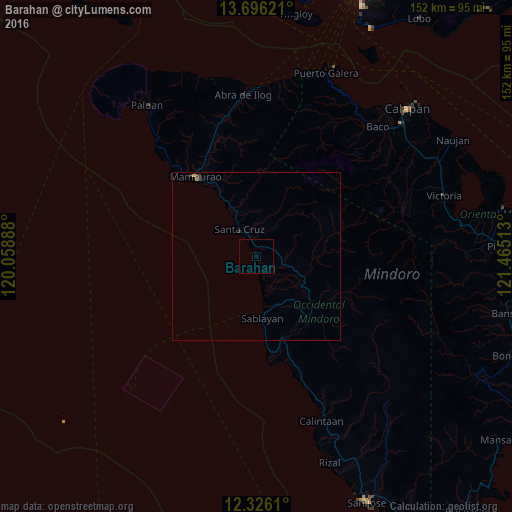
99.76%Clear (daylight) street map image can be seen on geolist.org.
Map coordinates:
13° 41' 46.4" North, 120° 3' 32" East
13° 0' 43.6" North, 120° 45' 43.2" East
12° 19' 34" North, 121° 27' 54.5" East
Some cities around Barahan sort by population:
• Sablayan
19.8 km =12.3 mi,  177°
177°
• Mamburao
29.6 km =18.4 mi,  322°
322°
• Calintaan
52.9 km =32.9 mi,  159°
159°
• Victoria
58.8 km =36.5 mi,  71°
71°
• Santa Cruz
8.1 km =5 mi,  328°
328°
• Canubing No 2
55 km =34.2 mi,  46°
46°
• Ligaya
41.6 km =25.8 mi, 160°
• Tayaman
31.7 km =19.7 mi, 319°
1726832 (p: 6,414)
Sources (retrieved 2019-11-25):
» Earth at Night: Flat Maps 2012, 2016