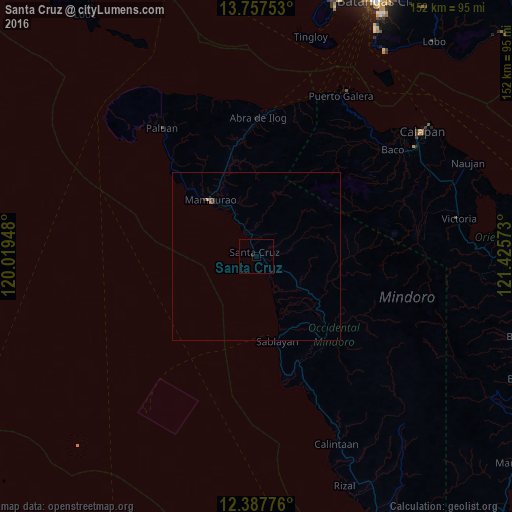
Santa Cruz night lights from space
Night Light of Santa Cruz (Mimaropa) from space (Philippines) Src. Average luminocity for 10x10km area is 0.1948% and for 50x50km: 0.1007%.
Analysis of Santa Cruz night lights 2016
Square area 10x10 km:
 0%
0%90-99
0%80-89
0%70-79
0%60-69
0%50-59
0%40-49
0%30-39
0%20-29
0.87%10-19
0%0-9
99.13%Square area 50x50 km:
0%90-99
0%80-89
0%70-79
0.03%60-69
0.03%50-59
0%40-49
0.03%30-39
0.07%20-29
0.07%10-19
0%0-9
99.77%Clear (daylight) street map image can be seen on geolist.org.
Map coordinates:
13° 45' 27.1" North, 120° 1' 10.1" East
13° 4' 25" North, 120° 43' 21.4" East
12° 23' 15.9" North, 121° 25' 32.6" East
Some cities around Santa Cruz sort by population:
• Sablayan
27 km =16.8 mi,  169°
169°
• Mamburao
21.6 km =13.4 mi,  320°
320°
• Calintaan
60.8 km =37.8 mi,  157°
157°
• Victoria
61.2 km =38 mi,  79°
79°
• Canubing No 2
54 km =33.6 mi,  55°
55°
• Ligaya
49.5 km =30.8 mi, 158°
• Barahan
8.1 km =5 mi,  148°
148°
• Tayaman
23.8 km =14.8 mi, 316°
1688275 (p: 9,826)
Sources (retrieved 2019-11-25):
» Earth at Night: Flat Maps 2012, 2016