Tanjay night lights from space
Night Light of Tanjay (Central Visayas) from space (Philippines) Src. Average luminocity for 10x10km area is 5.2511% and for 50x50km: 2.0411%.
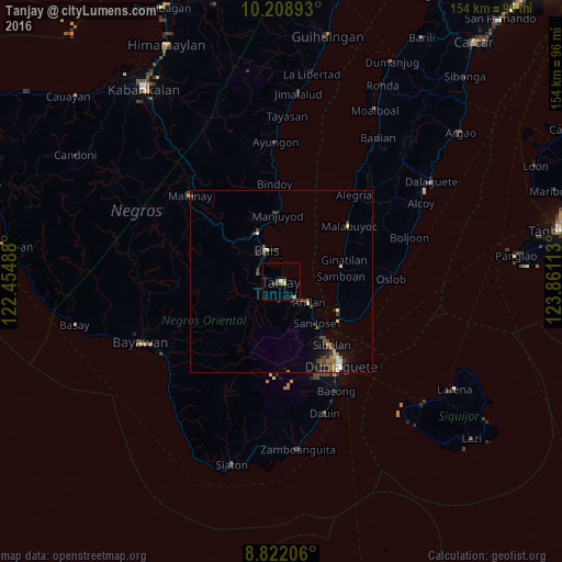
Analysis of Tanjay night lights 2016
Square area 10x10 km:
 0%
0%90-99
0%80-89
1.73%70-79
0%60-69
1.95%50-59
0.65%40-49
1.52%30-39
1.95%20-29
0%10-19
0%0-9
92.21%Square area 50x50 km:
0.1%90-99
0.25%80-89
0.26%70-79
0.13%60-69
0.43%50-59
0.17%40-49
0.64%30-39
0.62%20-29
0.38%10-19
0.83%0-9
96.18%Clear (daylight) street map image can be seen on geolist.org.
Map coordinates:
10° 12' 32.1" North, 122° 27' 17.6" East
9° 30' 58.3" North, 123° 9' 28.8" East
8° 49' 19.4" North, 123° 51' 40.1" East
Some cities around Tanjay sort by population:
• Dumaguete
28.1 km =17.5 mi,  145°
145°
• Bais
9.2 km =5.7 mi,  335°
335°
• Sibulan
22.4 km =13.9 mi,  141°
141°
• Pamplona
6.5 km =4 mi,  221°
221°
• Nalundan
27.9 km =17.3 mi, 338°
• Novallas
3.9 km =2.4 mi,  262°
262°
• Tabuan
33.7 km =20.9 mi,  269°
269°
• Bacong
33.6 km =20.9 mi, 153°
1683088 (p: 39,151)
Sources (retrieved 2019-11-25):
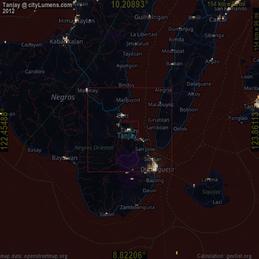
» Earth at Night: Flat Maps 2012, 2016