Bacong night lights from space
Night Light of Bacong (Central Visayas) from space (Philippines) Src. Average luminocity for 10x10km area is 7.2706% and for 50x50km: 2.2134%.
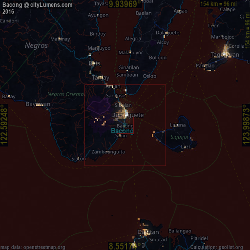
Analysis of Bacong night lights 2016
Square area 10x10 km:
 0%
0%90-99
0.22%80-89
0.22%70-79
0%60-69
1.3%50-59
0%40-49
4.11%30-39
3.03%20-29
2.38%10-19
4.76%0-9
83.98%Square area 50x50 km:
0.08%90-99
0.24%80-89
0.17%70-79
0.19%60-69
0.62%50-59
0.11%40-49
0.71%30-39
0.59%20-29
0.56%10-19
1.05%0-9
95.69%Clear (daylight) street map image can be seen on geolist.org.
Map coordinates:
9° 56' 22.9" North, 122° 35' 32.9" East
9° 14' 47" North, 123° 17' 44.2" East
8° 33' 6.3" North, 123° 59' 55.4" East
Some cities around Bacong sort by population:
• Dumaguete
6.8 km =4.2 mi,  6°
6°
• Tanjay
33.6 km =20.9 mi,  333°
333°
• Sibulan
12.5 km =7.8 mi,  354°
354°
• Pamplona
31.7 km =19.7 mi,  322°
322°
• Siquijor
24.3 km =15.1 mi,  98°
98°
• Siaton
35.1 km =21.8 mi,  234°
234°
• Mayabon
21.4 km =13.3 mi,  218°
218°
• Zamboanguita
19.2 km =11.9 mi,  213°
213°
1729550 (p: 5,091)
Sources (retrieved 2019-11-25):
» Earth at Night: Flat Maps 2012, 2016