Dumaguete night lights from space
Night Light of Dumaguete (Central Visayas) from space (Philippines) Src. Average luminocity for 10x10km area is 26.5455% and for 50x50km: 2.4201%.
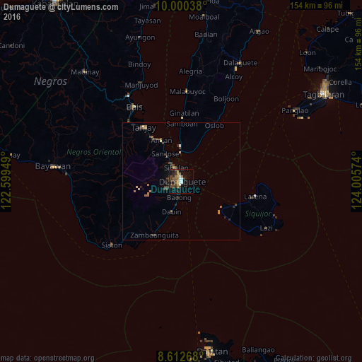
Analysis of Dumaguete night lights 2016
Square area 10x10 km:
 1.3%
1.3%90-99
5.19%80-89
1.3%70-79
2.16%60-69
9.09%50-59
0.65%40-49
6.49%30-39
7.79%20-29
4.11%10-19
20.56%0-9
41.34%Square area 50x50 km:
0.08%90-99
0.24%80-89
0.24%70-79
0.19%60-69
0.7%50-59
0.14%40-49
0.77%30-39
0.66%20-29
0.56%10-19
1.05%0-9
95.39%Clear (daylight) street map image can be seen on geolist.org.
Map coordinates:
10° 0' 1.4" North, 122° 35' 58.2" East
9° 18' 26" North, 123° 18' 9.4" East
8° 36' 45.6" North, 124° 0' 20.7" East
Some cities around Dumaguete sort by population:
• Tanjay
28.1 km =17.5 mi,  325°
325°
• Sibulan
6 km =3.7 mi,  341°
341°
• Pamplona
27.2 km =16.9 mi,  312°
312°
• Siquijor
25.5 km =15.8 mi,  113°
113°
• Mayabon
27.4 km =17 mi,  211°
211°
• Zamboanguita
25.4 km =15.8 mi, 206°
• Novallas
30.1 km =18.7 mi,  319°
319°
• Bacong
6.8 km =4.2 mi,  186°
186°
1714201 (p: 113,541)
Sources (retrieved 2019-11-25):
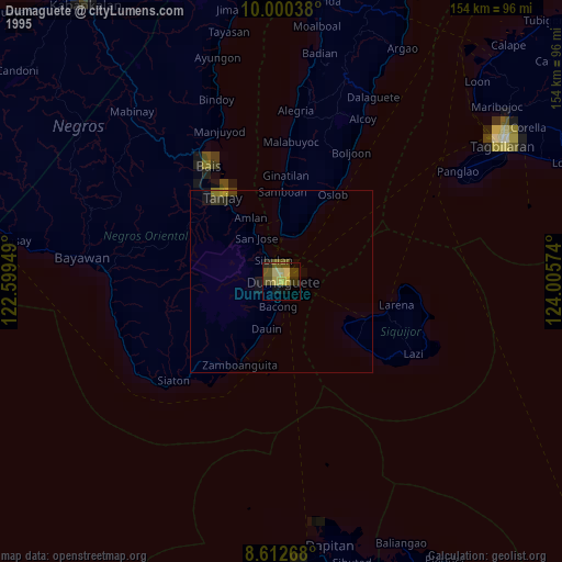
» NASA, Earths city lights 1995
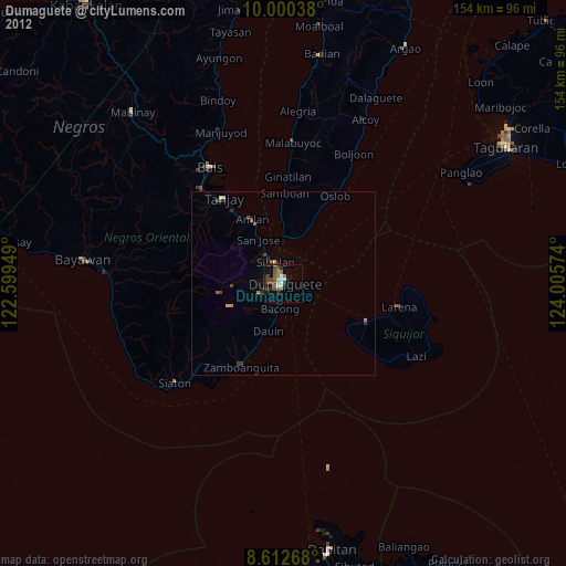
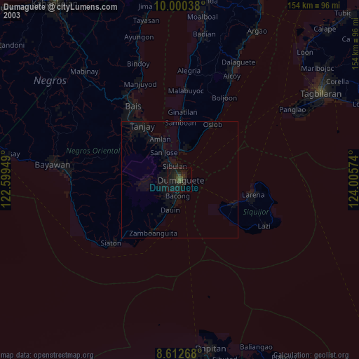
» NASA city lights 2003
» Earth at Night: Flat Maps 2012, 2016