Tabuan night lights from space
Night Light of Tabuan (Central Visayas) from space (Philippines) Src. Average luminocity for 10x10km area is 0% and for 50x50km: 0.2573%.
Analysis of Tabuan night lights 2016
Square area 10x10 km:
 0%
0%90-99
0%80-89
0%70-79
0%60-69
0%50-59
0%40-49
0%30-39
0%20-29
0%10-19
0%0-9
100%Square area 50x50 km:
0%90-99
0%80-89
0%70-79
0.04%60-69
0.16%50-59
0%40-49
0.1%30-39
0.03%20-29
0.1%10-19
0.03%0-9
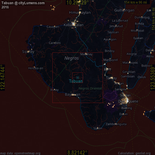
99.52%Clear (daylight) street map image can be seen on geolist.org.
Map coordinates:
10° 12' 29.8" North, 122° 8' 50.8" East
9° 30' 56" North, 122° 51' 2" East
8° 49' 17.1" North, 123° 33' 13.3" East
Some cities around Tabuan sort by population:
• Bayawan
17.5 km =10.9 mi,  196°
196°
• Santa Catalina
20.3 km =12.6 mi,  175°
175°
• Pamplona
29.8 km =18.5 mi,  99°
99°
• Nangka
12.9 km =8 mi,  192°
192°
• Maninihon
16.1 km =10 mi, 183°
• Novallas
29.8 km =18.5 mi,  90°
90°
• Mabinay
24.2 km =15 mi,  13°
13°
• Nagbalaye
29.7 km =18.5 mi,  174°
174°
1684853 (p: 5,390)
Sources (retrieved 2019-11-25):
» Earth at Night: Flat Maps 2012, 2016