Sibulan night lights from space
Night Light of Sibulan (Central Visayas) from space (Philippines) Src. Average luminocity for 10x10km area is 18.6277% and for 50x50km: 2.4753%.
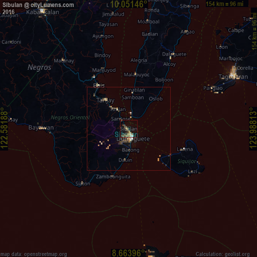
Analysis of Sibulan night lights 2016
Square area 10x10 km:
 0%
0%90-99
2.6%80-89
1.08%70-79
1.73%60-69
5.84%50-59
1.95%40-49
4.33%30-39
6.49%20-29
3.25%10-19
14.07%0-9
58.66%Square area 50x50 km:
0.08%90-99
0.25%80-89
0.25%70-79
0.19%60-69
0.7%50-59
0.17%40-49
0.72%30-39
0.7%20-29
0.55%10-19
1.05%0-9
95.34%Clear (daylight) street map image can be seen on geolist.org.
Map coordinates:
10° 3' 5.3" North, 122° 34' 54.8" East
9° 21' 30.2" North, 123° 17' 6" East
8° 39' 50.3" North, 123° 59' 17.3" East
Some cities around Sibulan sort by population:
• Dumaguete
6 km =3.7 mi,  161°
161°
• Bais
31.4 km =19.5 mi,  325°
325°
• Tanjay
22.4 km =13.9 mi,  321°
321°
• Pamplona
22.2 km =13.8 mi,  304°
304°
• Siquijor
29.9 km =18.6 mi,  122°
122°
• Zamboanguita
30 km =18.6 mi,  198°
198°
• Novallas
24.7 km =15.3 mi,  313°
313°
• Bacong
12.5 km =7.8 mi,  174°
174°
1686728 (p: 28,079)
Sources (retrieved 2019-11-25):
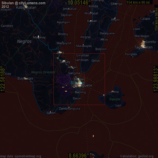
» Earth at Night: Flat Maps 2012, 2016