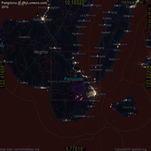
Pamplona night lights from space
Night Light of Pamplona (Central Visayas) from space (Philippines) Src. Average luminocity for 10x10km area is 2.4199% and for 50x50km: 2.5329%.
Analysis of Pamplona night lights 2016
Square area 10x10 km:
 0%
0%90-99
0%80-89
0.87%70-79
0%60-69
0.43%50-59
0.65%40-49
0.43%30-39
1.73%20-29
0%10-19
0%0-9
95.89%Square area 50x50 km:
0.1%90-99
0.26%80-89
0.34%70-79
0.17%60-69
0.59%50-59
0.17%40-49
0.83%30-39
0.74%20-29
0.51%10-19
1.06%0-9
95.22%Clear (daylight) street map image can be seen on geolist.org.
Map coordinates:
10° 9' 54.8" North, 122° 24' 57.9" East
9° 28' 20.6" North, 123° 7' 9.1" East
8° 46' 41.4" North, 123° 49' 20.4" East
Some cities around Pamplona sort by population:
• Dumaguete
27.2 km =16.9 mi,  132°
132°
• Bais
13.2 km =8.2 mi,  1°
1°
• Tanjay
6.5 km =4 mi,  41°
41°
• Sibulan
22.2 km =13.8 mi,  124°
124°
• Nalundan
31.4 km =19.5 mi,  349°
349°
• Novallas
4.4 km =2.7 mi, 4°
• Tabuan
29.8 km =18.5 mi,  279°
279°
• Bacong
31.7 km =19.7 mi,  142°
142°
1695834 (p: 11,772)
Sources (retrieved 2019-11-25):
» Earth at Night: Flat Maps 2012, 2016