Bais night lights from space
Night Light of Bais (Central Visayas) from space (Philippines) Src. Average luminocity for 10x10km area is 4.7056% and for 50x50km: 0.9845%.
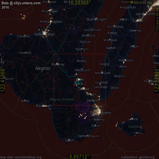
Analysis of Bais night lights 2016
Square area 10x10 km:
 0.43%
0.43%90-99
0%80-89
1.73%70-79
0%60-69
0%50-59
0.87%40-49
1.3%30-39
0%20-29
3.9%10-19
0.43%0-9
91.34%Square area 50x50 km:
0.05%90-99
0.06%80-89
0.21%70-79
0.02%60-69
0.14%50-59
0.09%40-49
0.46%30-39
0.32%20-29
0.22%10-19
0.02%0-9
98.4%Clear (daylight) street map image can be seen on geolist.org.
Map coordinates:
10° 17' 1.2" North, 122° 25' 10.8" East
9° 35' 28" North, 123° 7' 22" East
8° 53' 49.6" North, 123° 49' 33.3" East
Some cities around Bais sort by population:
• Tanjay
9.2 km =5.7 mi,  155°
155°
• Sibulan
31.4 km =19.5 mi,  145°
145°
• Pamplona
13.2 km =8.2 mi,  181°
181°
• Nalundan
18.7 km =11.6 mi,  340°
340°
• Madridejos
33.1 km =20.6 mi,  47°
47°
• Novallas
8.8 km =5.5 mi, 180°
• Mabinay
28.6 km =17.8 mi,  301°
301°
• Tabuan
31 km =19.3 mi,  254°
254°
1728772 (p: 65,594)
Sources (retrieved 2019-11-25):
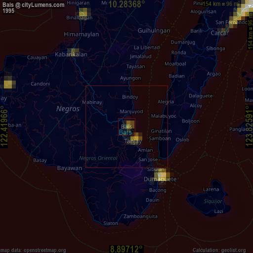
» NASA, Earths city lights 1995
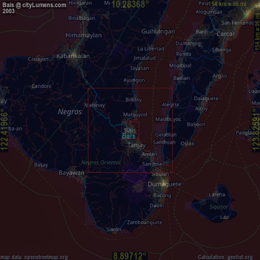
» NASA city lights 2003
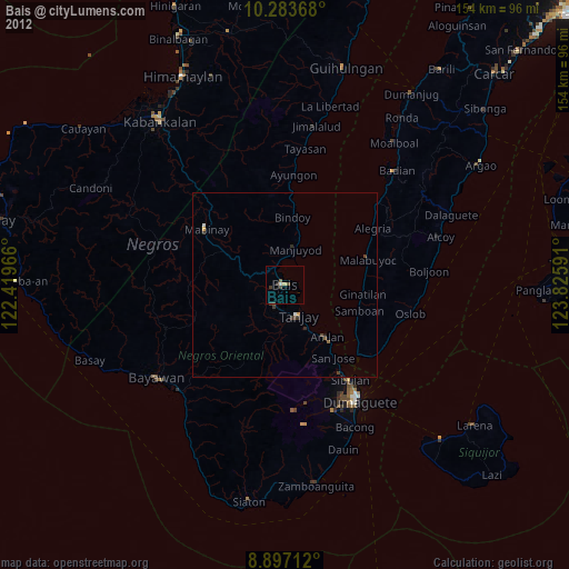
» Earth at Night: Flat Maps 2012, 2016