Tamugan night lights from space
Night Light of Tamugan (Davao) from space (Philippines) Src. Average luminocity for 10x10km area is 3.2835% and for 50x50km: 6.5384%.
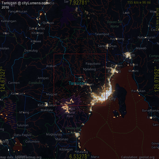
Analysis of Tamugan night lights 2016
Square area 10x10 km:
100  0%
0%
90-99 0%
80-89 0%
70-79 0%
60-69 0%
50-59 2.16%
40-49 0%
30-39 2.16%
20-29 2.6%
10-19 1.73%
0-9 91.34%
0%90-99
0%80-89
0%70-79
0%60-69
0%50-59
2.16%40-49
0%30-39
2.16%20-29
2.6%10-19
1.73%0-9
91.34%Square area 50x50 km:
100 0.83%
90-99 0.68%
80-89 0.6%
70-79 0.83%
60-69 1.47%
50-59 1.15%
40-49 0.81%
30-39 1.24%
20-29 2.52%
10-19 3.29%
0-9 86.58%
0.83%90-99
0.68%80-89
0.6%70-79
0.83%60-69
1.47%50-59
1.15%40-49
0.81%30-39
1.24%20-29
2.52%10-19
3.29%0-9
86.58%Clear (daylight) street map image can be seen on geolist.org.
Map coordinates:
7° 55' 40.1" North, 124° 40' 23.8" East
7° 13' 51" North, 125° 22' 35" East
6° 31' 58" North, 126° 4' 46.3" East
Some cities around Tamugan sort by population:
• Davao
31.4 km =19.5 mi,  123°
123°
• Biao
17.6 km =10.9 mi, 115°
• Wañgan
11 km =6.8 mi,  136°
136°
• Baracatan
29.6 km =18.4 mi,  171°
171°
• Tamayong
10.9 km =6.8 mi,  178°
178°
• Simod
27.5 km =17.1 mi,  351°
351°
• Bato
23.4 km =14.5 mi,  152°
152°
• Sirib
11.4 km =7.1 mi,  162°
162°
1683385 (p: 8,291)
Sources (retrieved 2019-11-25):
» Earth at Night: Flat Maps 2012, 2016