Davao night lights from space
Night Light of Davao from space (Philippines) Src. Average luminocity for 10x10km area is 68.4654% and for 50x50km: 11.2059%.
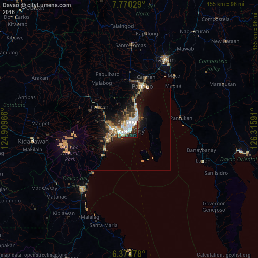

Analysis of Davao night lights 2016
Square area 10x10 km:
 27.49%
90-99
21%80-89
5.19%70-79
5.63%60-69
2.81%50-59
3.68%40-49
1.52%30-39
5.63%20-29
16.23%10-19
8.87%0-9
1.95%Square area 50x50 km:
2.06%90-99
1.64%80-89
0.93%70-79
1.03%60-69
1.53%50-59
1.7%40-49
1.39%30-39
2.09%20-29
3.78%10-19
7.74%0-9
76.11%Clear (daylight) street map image can be seen on geolist.org.
Map coordinates:
7° 46' 13" North, 124° 54' 34.8" East
7° 4' 23" North, 125° 36' 46" East
6° 22' 29.2" North, 126° 18' 57.3" East
Some cities around Davao sort by population:
• Samal
10.5 km =6.5 mi,  89°
89°
• Biao
14.2 km =8.8 mi,  314°
314°
• Sibulan
22.7 km =14.1 mi,  226°
226°
• Lasang
22.3 km =13.9 mi,  14°
14°
• Wañgan
20.8 km =12.9 mi,  297°
297°
• Inawayan
19.8 km =12.3 mi, 230°
• Sirib
23.7 km =14.7 mi,  286°
286°
• Bato
15.8 km =9.8 mi,  257°
257°
1715348 (p: 1,212,504)
Sources (retrieved 2019-11-25):
» NASA, Earths city lights 1995
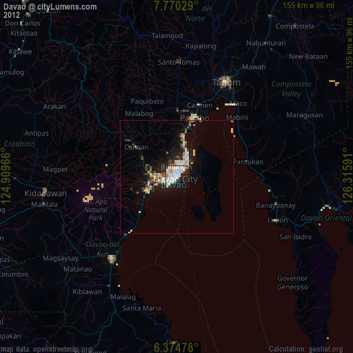
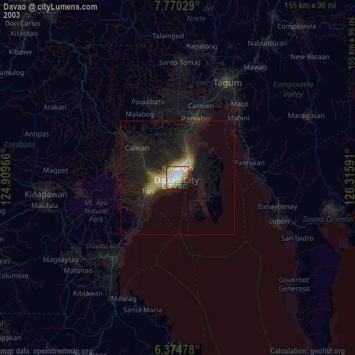
» NASA city lights 2003
» Earth at Night: Flat Maps 2012, 2016