Bago City night lights from space
Night Light of Bago City (Western Visayas) from space (Philippines) Src. Average luminocity for 10x10km area is 8.2087% and for 50x50km: 5.5448%.
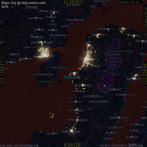
Analysis of Bago City night lights 2016
Square area 10x10 km:
 0%
0%90-99
0%80-89
1.65%70-79
2.69%60-69
1.45%50-59
0.83%40-49
0.83%30-39
2.48%20-29
2.89%10-19
0.41%0-9
86.78%Square area 50x50 km:
0.39%90-99
0.56%80-89
0.94%70-79
0.93%60-69
0.85%50-59
0.56%40-49
0.87%30-39
0.89%20-29
1.74%10-19
4.44%0-9
87.83%Clear (daylight) street map image can be seen on geolist.org.
Map coordinates:
11° 13' 25.7" North, 122° 7' 48.8" East
10° 31' 60" North, 122° 49' 60" East
9° 50' 28.6" North, 123° 32' 11.3" East
Some cities around Bago City sort by population:
• Pulupandan
3.7 km =2.3 mi,  247°
247°
• Taloc
8.2 km =5.1 mi,  55°
55°
• Pacol
9.4 km =5.8 mi,  191°
191°
• Sumag
12.1 km =7.5 mi,  51°
51°
• San Enrique
13.2 km =8.2 mi,  171°
171°
• Dulao
11.5 km =7.1 mi,  85°
85°
• Busay
5.8 km =3.6 mi, 85°
• Napoles
7.8 km =4.8 mi,  114°
114°
1729085 (p: 150,250)
Sources (retrieved 2019-11-25):
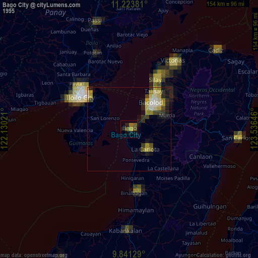
» NASA, Earths city lights 1995
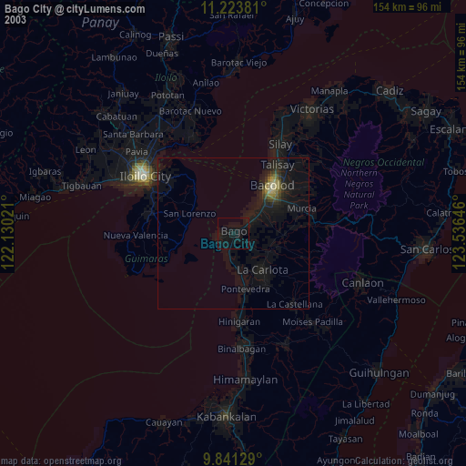
» NASA city lights 2003
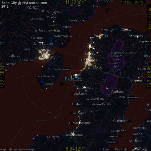
» Earth at Night: Flat Maps 2012, 2016