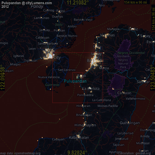
Pulupandan night lights from space
Night Light of Pulupandan (Western Visayas) from space (Philippines) Src. Average luminocity for 10x10km area is 6.7355% and for 50x50km: 5.8449%.

Analysis of Pulupandan night lights 2016
Square area 10x10 km:
 0%
0%90-99
0%80-89
1.65%70-79
2.27%60-69
1.45%50-59
0.83%40-49
0.62%30-39
1.45%20-29
1.86%10-19
0.21%0-9
89.67%Square area 50x50 km:
0.47%90-99
0.62%80-89
1.03%70-79
1.13%60-69
0.89%50-59
0.5%40-49
0.93%30-39
0.84%20-29
1.84%10-19
4.37%0-9
87.37%Clear (daylight) street map image can be seen on geolist.org.
Map coordinates:
11° 12' 39" North, 122° 5' 54.9" East
10° 31' 13.1" North, 122° 48' 6.1" East
9° 49' 41.7" North, 123° 30' 17.4" East
Some cities around Pulupandan sort by population:
• Bago City
3.7 km =2.3 mi,  67°
67°
• Taloc
11.9 km =7.4 mi,  59°
59°
• Pacol
8 km =5 mi,  168°
168°
• San Enrique
12.8 km =8 mi,  155°
155°
• Dulao
15.1 km =9.4 mi,  80°
80°
• Cabano
13.3 km =8.3 mi,  303°
303°
• Busay
9.4 km =5.8 mi, 78°
• Napoles
10.7 km =6.6 mi,  99°
99°
1692489 (p: 27,363)
Sources (retrieved 2019-11-25):
» Earth at Night: Flat Maps 2012, 2016