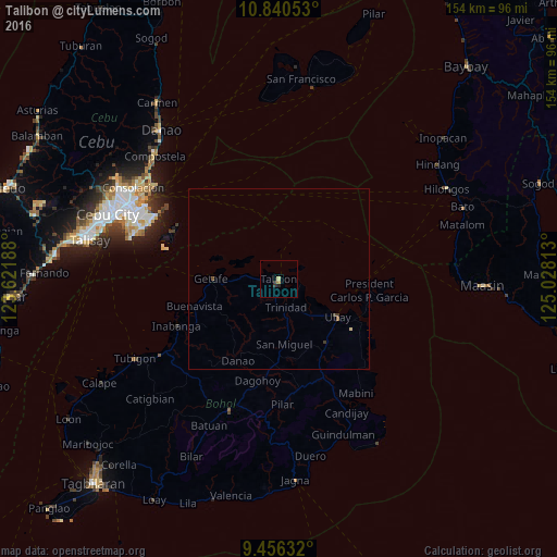
Talibon night lights from space
Night Light of Talibon (Central Visayas) from space (Philippines) Src. Average luminocity for 10x10km area is 2.0558% and for 50x50km: 0.1949%.
Analysis of Talibon night lights 2016
Square area 10x10 km:
 0%
0%90-99
0%80-89
0.83%70-79
0%60-69
0.83%50-59
0%40-49
0%30-39
1.03%20-29
1.45%10-19
0%0-9
95.87%Square area 50x50 km:
0%90-99
0%80-89
0.07%70-79
0%60-69
0.05%50-59
0.03%40-49
0.05%30-39
0.11%20-29
0.06%10-19
0%0-9
99.63%Clear (daylight) street map image can be seen on geolist.org.
Map coordinates:
10° 50' 25.9" North, 123° 37' 18.8" East
10° 8' 57" North, 124° 19' 30" East
9° 27' 22.8" North, 125° 1' 41.3" East
Some cities around Talibon sort by population:
• Lapu-Lapu City
44.8 km =27.8 mi,  293°
293°
• Liloan
45.2 km =28.1 mi,  307°
307°
• Cordova
43.2 km =26.8 mi,  284°
284°
• Carmen
39 km =24.2 mi,  201°
201°
• Tayud
43.4 km =27 mi, 306°
• Mabini
38.2 km =23.7 mi,  145°
145°
• Bien Unido
5.9 km =3.7 mi,  102°
102°
• San Francisco
2 km =1.2 mi, 308°
1683961 (p: 11,209)
Sources (retrieved 2019-11-25):
» Earth at Night: Flat Maps 2012, 2016