Mabini night lights from space
Night Light of Mabini (Central Visayas) from space (Philippines) Src. Average luminocity for 10x10km area is 0% and for 50x50km: 0.1298%.
Analysis of Mabini night lights 2016
Square area 10x10 km:
 0%
0%90-99
0%80-89
0%70-79
0%60-69
0%50-59
0%40-49
0%30-39
0%20-29
0%10-19
0%0-9
100%Square area 50x50 km:
0%90-99
0%80-89
0.03%70-79
0%60-69
0.05%50-59
0.02%40-49
0.03%30-39
0.1%20-29
0%10-19
0%0-9
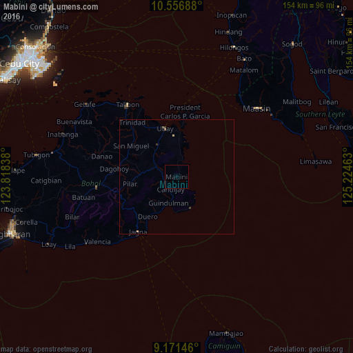
99.77%Clear (daylight) street map image can be seen on geolist.org.
Map coordinates:
10° 33' 24.8" North, 123° 49' 6.2" East
9° 51' 53.6" North, 124° 31' 17.4" East
9° 10' 17.3" North, 125° 13' 28.7" East
Some cities around Mabini sort by population:
• Jagna
28.8 km =17.9 mi,  215°
215°
• Maasin
46.3 km =28.8 mi,  49°
49°
• Loboc
59 km =36.7 mi,  244°
244°
• Talibon
38.2 km =23.7 mi,  325°
325°
• Bato
59.3 km =36.8 mi,  29°
29°
• Carmen
35.9 km =22.3 mi,  262°
262°
• Bien Unido
34.1 km =21.2 mi, 332°
• San Francisco
40.1 km =24.9 mi,  324°
324°
1704591 (p: 5,999)
Sources (retrieved 2019-11-25):
» Earth at Night: Flat Maps 2012, 2016