Carmen night lights from space
Night Light of Carmen (Central Visayas) from space (Philippines) Src. Average luminocity for 10x10km area is 0.9524% and for 50x50km: 0.1275%.
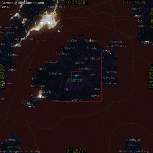
Analysis of Carmen night lights 2016
Square area 10x10 km:
 0%
0%90-99
0%80-89
0%70-79
0%60-69
0.22%50-59
0.65%40-49
0.87%30-39
0%20-29
0%10-19
0%0-9
98.27%Square area 50x50 km:
0%90-99
0%80-89
0%70-79
0%60-69
0.04%50-59
0.05%40-49
0.09%30-39
0.03%20-29
0.03%10-19
0.01%0-9
99.75%Clear (daylight) street map image can be seen on geolist.org.
Map coordinates:
10° 30' 51.8" North, 123° 29' 35.8" East
9° 49' 20.3" North, 124° 11' 47" East
9° 7' 43.6" North, 124° 53' 58.3" East
Some cities around Carmen sort by population:
• Jagna
26.7 km =16.6 mi,  134°
134°
• Loboc
27.1 km =16.8 mi,  220°
220°
• Tibigan
29.4 km =18.3 mi,  299°
299°
• Talibon
39 km =24.2 mi,  21°
21°
• San Isidro
35.9 km =22.3 mi,  287°
287°
• Mabini
35.9 km =22.3 mi,  82°
82°
• Bien Unido
40.3 km =25 mi,  29°
29°
• San Francisco
39.6 km =24.6 mi, 18°
1718332 (p: 8,214)
Sources (retrieved 2019-11-25):
» Earth at Night: Flat Maps 2012, 2016