Sual night lights from space
Night Light of Sual (Ilocos) from space (Philippines) Src. Average luminocity for 10x10km area is 1.4959% and for 50x50km: 1.1707%.
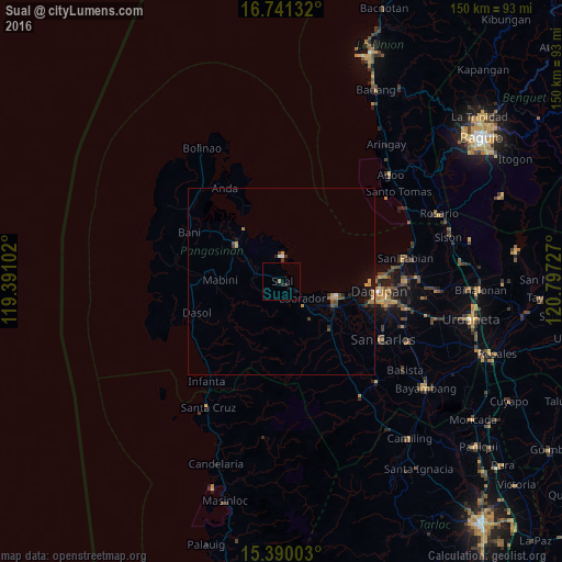
Analysis of Sual night lights 2016
Square area 10x10 km:
 0%
0%90-99
0%80-89
0%70-79
0%60-69
0.83%50-59
0%40-49
0%30-39
0%20-29
1.65%10-19
1.45%0-9
96.07%Square area 50x50 km:
0.06%90-99
0.04%80-89
0.09%70-79
0.31%60-69
0.17%50-59
0.12%40-49
0.2%30-39
0.22%20-29
0.28%10-19
0.83%0-9
97.68%Clear (daylight) street map image can be seen on geolist.org.
Map coordinates:
16° 44' 28.8" North, 119° 23' 27.7" East
16° 4' 0.6" North, 120° 5' 38.9" East
15° 23' 24.1" North, 120° 47' 50.2" East
Some cities around Sual sort by population:
• Lingayen
15.6 km =9.7 mi,  108°
108°
• Binmaley
19.1 km =11.9 mi,  101°
101°
• Agoo
1.9 km =1.2 mi,  18°
18°
• Domalanoan
14.4 km =8.9 mi,  119°
119°
• Bugallon
18.1 km =11.2 mi,  134°
134°
• Alaminos
15.6 km =9.7 mi,  309°
309°
• Aguilar
25.1 km =15.6 mi,  142°
142°
• Magtaking
13.1 km =8.1 mi, 133°
1685634 (p: 5,290)
Sources (retrieved 2019-11-25):
» Earth at Night: Flat Maps 2012, 2016