Agoo night lights from space
Night Light of Agoo (Ilocos) from space (Philippines) Src. Average luminocity for 10x10km area is 3.9855% and for 50x50km: 1.2669%.
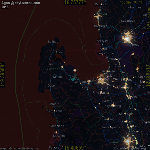
Analysis of Agoo night lights 2016
Square area 10x10 km:
 1.03%
1.03%90-99
0.62%80-89
0%70-79
0%60-69
0.83%50-59
0%40-49
0%30-39
1.45%20-29
2.69%10-19
1.45%0-9
91.94%Square area 50x50 km:
0.07%90-99
0.04%80-89
0.09%70-79
0.31%60-69
0.25%50-59
0.12%40-49
0.2%30-39
0.24%20-29
0.3%10-19
0.88%0-9
97.49%Clear (daylight) street map image can be seen on geolist.org.
Map coordinates:
16° 45' 28" North, 119° 23' 48.8" East
16° 4' 60" North, 120° 6' 0" East
15° 24' 23.7" North, 120° 48' 11.3" East
Some cities around Agoo sort by population:
• Dagupan
25.3 km =15.7 mi,  100°
100°
• Lingayen
15.7 km =9.8 mi,  115°
115°
• Binmaley
18.9 km =11.7 mi,  107°
107°
• Domalanoan
14.9 km =9.3 mi,  126°
126°
• Bugallon
19.1 km =11.9 mi,  139°
139°
• Alaminos
15.1 km =9.4 mi,  302°
302°
• Magtaking
14.1 km =8.8 mi, 140°
• Sual
1.9 km =1.2 mi,  198°
198°
1731959 (p: 28,972)
Sources (retrieved 2019-11-25):
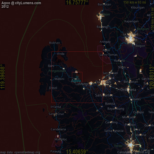
» Earth at Night: Flat Maps 2012, 2016