Binmaley night lights from space
Night Light of Binmaley (Ilocos) from space (Philippines) Src. Average luminocity for 10x10km area is 10.8636% and for 50x50km: 4.1176%.
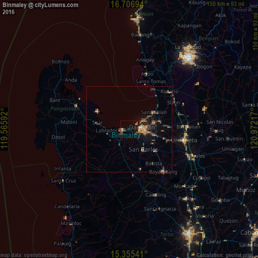
Analysis of Binmaley night lights 2016
Square area 10x10 km:
 0.41%
0.41%90-99
0.41%80-89
0.62%70-79
2.69%60-69
0.41%50-59
1.65%40-49
2.69%30-39
1.45%20-29
2.48%10-19
10.33%0-9
76.86%Square area 50x50 km:
0.1%90-99
0.07%80-89
0.26%70-79
0.85%60-69
0.88%50-59
0.51%40-49
1.12%30-39
1.27%20-29
1.08%10-19
3.09%0-9
90.77%Clear (daylight) street map image can be seen on geolist.org.
Map coordinates:
16° 42' 25" North, 119° 33' 57.3" East
16° 1' 56.4" North, 120° 16' 8.5" East
15° 21' 19.5" North, 120° 58' 19.8" East
Some cities around Binmaley sort by population:
• Dagupan
7 km =4.3 mi,  80°
80°
• Lingayen
4.1 km =2.5 mi,  253°
253°
• Calasiao
10 km =6.2 mi,  103°
103°
• Santa Barbara
14.7 km =9.1 mi, 103°
• Domalanoan
7 km =4.3 mi,  241°
241°
• Bugallon
10.5 km =6.5 mi,  212°
212°
• Nagsaing
9.3 km =5.8 mi,  127°
127°
• Magtaking
10.6 km =6.6 mi, 240°
1724956 (p: 44,026)
Sources (retrieved 2019-11-25):
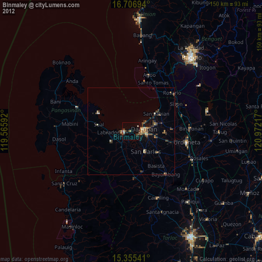
» Earth at Night: Flat Maps 2012, 2016