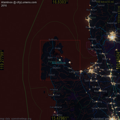
Alaminos night lights from space
Night Light of Alaminos (Ilocos) from space (Philippines) Src. Average luminocity for 10x10km area is 2.7748% and for 50x50km: 0.4177%.
Analysis of Alaminos night lights 2016
Square area 10x10 km:
 0%
0%90-99
0%80-89
0%70-79
1.86%60-69
0.62%50-59
0%40-49
0.83%30-39
0.83%20-29
0%10-19
0.83%0-9
95.04%Square area 50x50 km:
0.04%90-99
0.02%80-89
0.01%70-79
0.13%60-69
0.07%50-59
0.01%40-49
0.07%30-39
0.15%20-29
0.12%10-19
0.11%0-9
99.26%Clear (daylight) street map image can be seen on geolist.org.
Map coordinates:
16° 49' 49.1" North, 119° 16' 40.8" East
16° 9' 22" North, 119° 58' 52" East
15° 28' 46.6" North, 120° 41' 3.3" East
Some cities around Alaminos sort by population:
• Lingayen
30.7 km =19.1 mi,  119°
119°
• Binmaley
33.7 km =20.9 mi,  114°
114°
• Agoo
15.1 km =9.4 mi, 122°
• Domalanoan
29.9 km =18.6 mi, 124°
• Bugallon
33.7 km =20.9 mi,  132°
132°
• Zaragoza
26 km =16.2 mi,  351°
351°
• Magtaking
28.7 km =17.8 mi, 131°
• Sual
15.6 km =9.7 mi, 129°
1731685 (p: 10,488)
Sources (retrieved 2019-11-25):
» Earth at Night: Flat Maps 2012, 2016