Lingayen night lights from space
Night Light of Lingayen (Ilocos) from space (Philippines) Src. Average luminocity for 10x10km area is 8.4731% and for 50x50km: 3.891%.
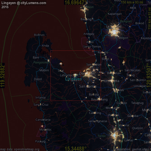
Analysis of Lingayen night lights 2016
Square area 10x10 km:
 0.41%
0.41%90-99
0.41%80-89
0%70-79
2.48%60-69
0.21%50-59
3.1%40-49
2.48%30-39
1.65%20-29
1.65%10-19
1.65%0-9
85.95%Square area 50x50 km:
0.1%90-99
0.07%80-89
0.26%70-79
0.83%60-69
0.88%50-59
0.45%40-49
1.02%30-39
1.15%20-29
0.91%10-19
3.06%0-9
91.28%Clear (daylight) street map image can be seen on geolist.org.
Map coordinates:
16° 41' 47.3" North, 119° 31' 43.8" East
16° 1' 18.6" North, 120° 13' 55" East
15° 20' 41.6" North, 120° 56' 6.3" East
Some cities around Lingayen sort by population:
• Dagupan
11.1 km =6.9 mi,  77°
77°
• Binmaley
4.1 km =2.5 mi,  73°
73°
• Calasiao
13.7 km =8.5 mi,  94°
94°
• Domalanoan
3 km =1.9 mi,  226°
226°
• Bugallon
7.9 km =4.9 mi,  192°
192°
• Aguilar
14.8 km =9.2 mi,  177°
177°
• Nagsaing
12.2 km =7.6 mi,  111°
111°
• Magtaking
6.6 km =4.1 mi, 232°
1706188 (p: 56,580)
Sources (retrieved 2019-11-25):
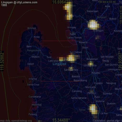
» NASA, Earths city lights 1995
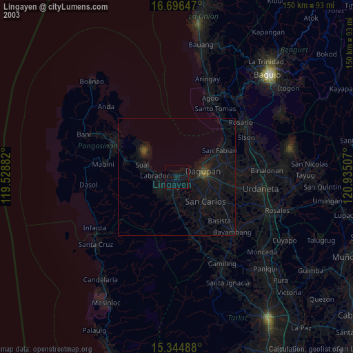
» NASA city lights 2003
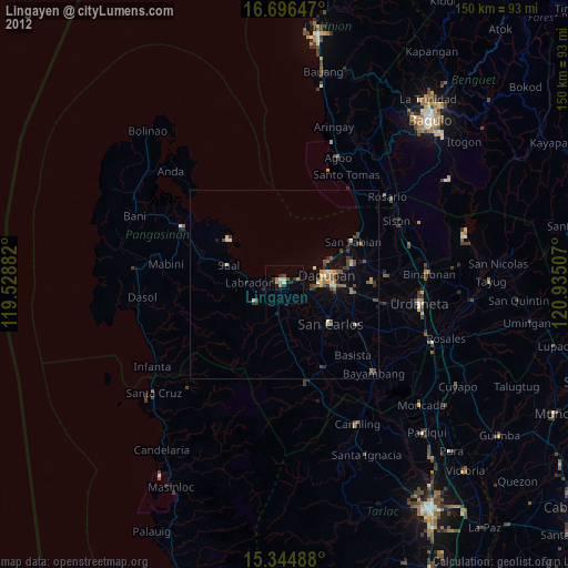
» Earth at Night: Flat Maps 2012, 2016