Victoria night lights from space
Night Light of Victoria (Mimaropa) from space (Philippines) Src. Average luminocity for 10x10km area is 0.3442% and for 50x50km: 0.251%.
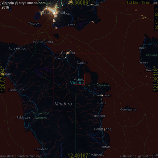
Analysis of Victoria night lights 2016
Square area 10x10 km:
 0%
0%90-99
0%80-89
0%70-79
0%60-69
0%50-59
0%40-49
0%30-39
0.87%20-29
0%10-19
0%0-9
99.13%Square area 50x50 km:
0%90-99
0%80-89
0.02%70-79
0.07%60-69
0%50-59
0.03%40-49
0.07%30-39
0.12%20-29
0.14%10-19
0.11%0-9
99.43%Clear (daylight) street map image can be seen on geolist.org.
Map coordinates:
13° 51' 39.1" North, 120° 34' 29.8" East
13° 10' 38" North, 121° 16' 41" East
12° 29' 30" North, 121° 58' 52.3" East
Some cities around Victoria sort by population:
• Calapan
28.1 km =17.5 mi,  337°
337°
• Pinamalayan
24.7 km =15.3 mi,  126°
126°
• Bansud
39.7 km =24.7 mi,  150°
150°
• Canubing No 2
24.8 km =15.4 mi,  320°
320°
• Laiya
57.5 km =35.7 mi,  13°
13°
• Barahan
58.8 km =36.5 mi,  251°
251°
• Gloria
29.7 km =18.5 mi,  136°
136°
• Socorro
17.9 km =11.1 mi, 133°
1680019 (p: 10,088)
Sources (retrieved 2019-11-25):
» Earth at Night: Flat Maps 2012, 2016