Concepcion night lights from space
Night Light of Concepcion (Central Luzon) from space (Philippines) Src. Average luminocity for 10x10km area is 10.3333% and for 50x50km: 11.6706%.
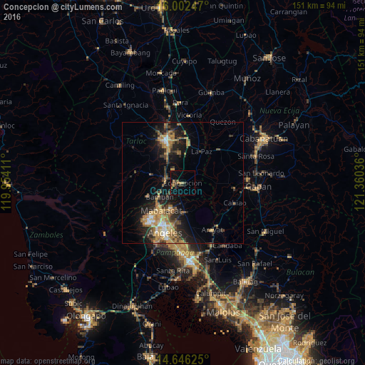

Analysis of Concepcion night lights 2016
Square area 10x10 km:
 0%
0%90-99
0%80-89
0%70-79
2.6%60-69
2.6%50-59
1.73%40-49
3.68%30-39
2.6%20-29
0.65%10-19
4.33%0-9
81.82%Square area 50x50 km:
0.63%90-99
0.97%80-89
1.16%70-79
2.81%60-69
2.95%50-59
1.27%40-49
2.19%30-39
2.07%20-29
3.23%10-19
7.78%0-9
74.94%Clear (daylight) street map image can be seen on geolist.org.
Map coordinates:
16° 0' 8.9" North, 119° 57' 14.8" East
15° 19' 31.7" North, 120° 39' 26" East
14° 38' 46.5" North, 121° 21' 37.3" East
Some cities around Concepcion sort by population:
• Mabalacat City
14.7 km =9.1 mi,  219°
219°
• Capas
7.3 km =4.5 mi,  275°
275°
• Magalang
12.3 km =7.6 mi,  178°
178°
• San Miguel
14.6 km =9.1 mi,  334°
334°
• San Vicente
3.7 km =2.3 mi, 183°
• Santa Monica
7.6 km =4.7 mi,  61°
61°
• Mapalacsiao
11.4 km =7.1 mi,  357°
357°
• Murcia
10.2 km =6.3 mi, 329°
1716995 (p: 64,402)
Sources (retrieved 2019-11-25):
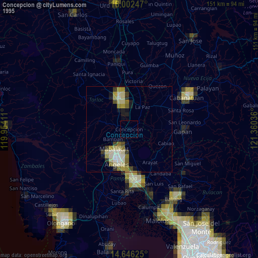
» NASA, Earths city lights 1995
» NASA city lights 2003
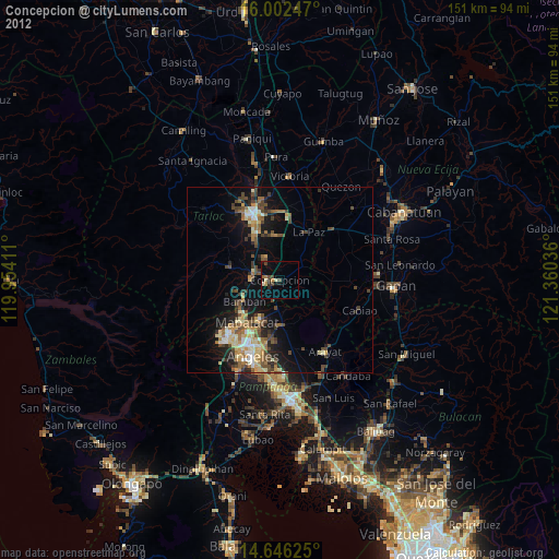
» Earth at Night: Flat Maps 2012, 2016