San Leonardo night lights from space
Night Light of San Leonardo (Central Luzon) from space (Philippines) Src. Average luminocity for 10x10km area is 6.7576% and for 50x50km: 3.1139%.
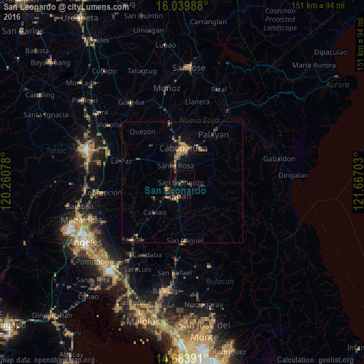
Analysis of San Leonardo night lights 2016
Square area 10x10 km:
 0%
0%90-99
0%80-89
0%70-79
0%60-69
0%50-59
0.87%40-49
3.9%30-39
2.16%20-29
2.38%10-19
5.84%0-9
84.85%Square area 50x50 km:
0%90-99
0.03%80-89
0.23%70-79
0.88%60-69
0.56%50-59
0.3%40-49
0.93%30-39
0.79%20-29
0.73%10-19
2.11%0-9
93.45%Clear (daylight) street map image can be seen on geolist.org.
Map coordinates:
16° 2' 23.6" North, 120° 15' 38.8" East
15° 21' 46.8" North, 120° 57' 50" East
14° 41' 2.1" North, 121° 40' 1.3" East
Some cities around San Leonardo sort by population:
• Gapan
6.5 km =4 mi,  196°
196°
• Jaen
6.2 km =3.9 mi,  230°
230°
• General Tinio
9.1 km =5.7 mi,  98°
98°
• Peñaranda
4.5 km =2.8 mi,  107°
107°
• Santa Rosa
7.3 km =4.5 mi,  337°
337°
• Santo Cristo
10.8 km =6.7 mi, 227°
• Nieves
4.2 km =2.6 mi, 202°
• San Mariano
10.5 km =6.5 mi,  243°
243°
1689171 (p: 34,743)
Sources (retrieved 2019-11-25):
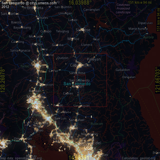
» Earth at Night: Flat Maps 2012, 2016