Roxas night lights from space
Night Light of Roxas (Mimaropa) from space (Philippines) Src. Average luminocity for 10x10km area is 0.5599% and for 50x50km: 0.0228%.
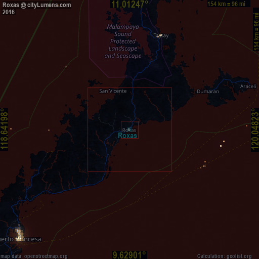
Analysis of Roxas night lights 2016
Square area 10x10 km:
 0%
0%90-99
0%80-89
0%70-79
0%60-69
0%50-59
0%40-49
0%30-39
1.65%20-29
0%10-19
0%0-9
98.35%Square area 50x50 km:
0%90-99
0%80-89
0%70-79
0%60-69
0%50-59
0%40-49
0%30-39
0.07%20-29
0%10-19
0%0-9
99.93%Clear (daylight) street map image can be seen on geolist.org.
Map coordinates:
11° 0' 44.9" North, 118° 38' 31.1" East
10° 19' 17.4" North, 119° 20' 42.4" East
9° 37' 44.4" North, 120° 2' 53.6" East
Some cities around Roxas sort by population:
• Puerto Princesa
93 km =57.8 mi,  225°
225°
• Narra
156 km =96.9 mi,  221°
221°
• Panacan
157.6 km =97.9 mi, 220°
• Quezon
187.5 km =116.5 mi, 230°
• El Nido
96.3 km =59.8 mi,  3°
3°
• Taytay
57.7 km =35.9 mi,  16°
16°
• Cuyo
191.2 km =118.8 mi,  72°
72°
• San Jose
86.6 km =53.8 mi, 228°
1691446 (p: 15,242)
Sources (retrieved 2019-11-25):
» Earth at Night: Flat Maps 2012, 2016