Puerto Princesa night lights from space
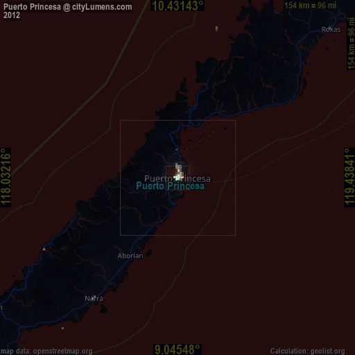
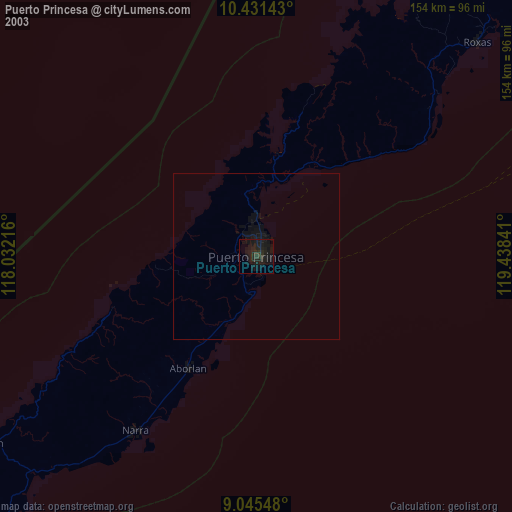
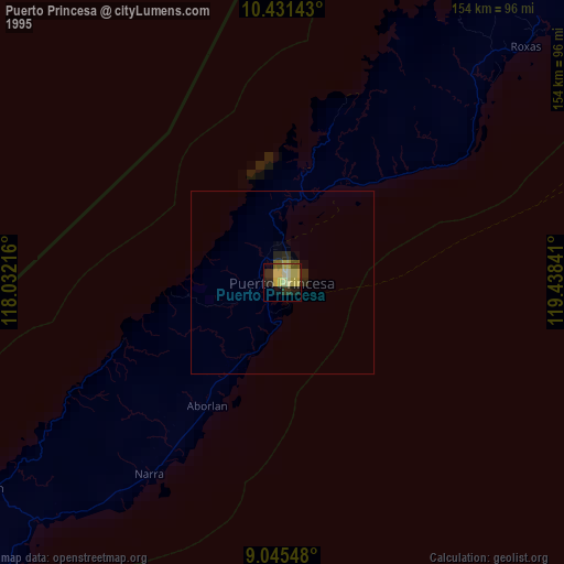
Night Light of Puerto Princesa (Mimaropa) from space (Philippines) Src. Average luminocity for 10x10km area is 21.6385% and for 50x50km: 1.0297%.
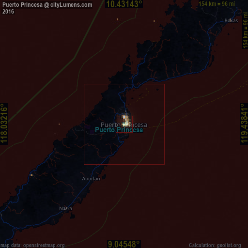
Analysis of Puerto Princesa night lights 2016
Square area 10x10 km:
 0%
0%90-99
3.9%80-89
4.33%70-79
3.03%60-69
3.03%50-59
5.63%40-49
2.38%30-39
2.16%20-29
4.33%10-19
9.74%0-9
61.47%Square area 50x50 km:
0%90-99
0.15%80-89
0.17%70-79
0.12%60-69
0.15%50-59
0.22%40-49
0.15%30-39
0.13%20-29
0.23%10-19
0.48%0-9
98.22%Clear (daylight) street map image can be seen on geolist.org.
Map coordinates:
10° 25' 53.1" North, 118° 1' 55.8" East
9° 44' 21" North, 118° 44' 7" East
9° 2' 43.7" North, 119° 26' 18.3" East
Some cities around Puerto Princesa sort by population:
• Narra
63.7 km =39.6 mi,  214°
214°
• Roxas
93 km =57.8 mi,  45°
45°
• Panacan
65.5 km =40.7 mi, 213°
• Quezon
95 km =59 mi,  234°
234°
• Panitian
100.9 km =62.7 mi,  224°
224°
• San Jose
7.2 km =4.5 mi,  19°
19°
• Eraan
136.1 km =84.6 mi,  236°
236°
• Ipilan
135.1 km =83.9 mi, 222°
1692685 (p: 222,673)
Sources (retrieved 2019-11-25):
» NASA, Earths city lights 1995
» NASA city lights 2003
» Earth at Night: Flat Maps 2012, 2016