El Nido night lights from space
Night Light of El Nido (Mimaropa) from space (Philippines) Src. Average luminocity for 10x10km area is 0.5866% and for 50x50km: 0.0374%.
Analysis of El Nido night lights 2016
Square area 10x10 km:
 0%
0%90-99
0%80-89
0%70-79
0%60-69
0%50-59
0%40-49
0.65%30-39
0.22%20-29
0.87%10-19
0%0-9
98.27%Square area 50x50 km:
0%90-99
0%80-89
0.02%70-79
0%60-69
0%50-59
0%40-49
0.03%30-39
0.01%20-29
0.03%10-19
0%0-9
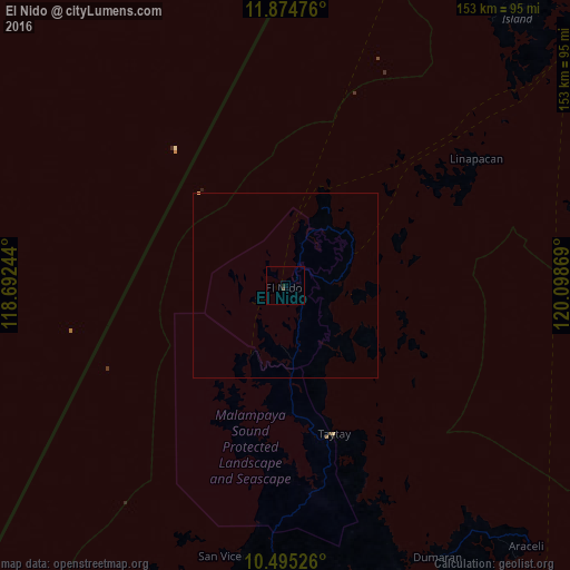
99.92%Clear (daylight) street map image can be seen on geolist.org.
Map coordinates:
11° 52' 29.1" North, 118° 41' 32.8" East
11° 11' 9" North, 119° 23' 44" East
10° 29' 42.9" North, 120° 5' 55.3" East
Some cities around El Nido sort by population:
• Puerto Princesa
176.3 km =109.5 mi,  204°
204°
• San Jose
223.5 km =138.9 mi,  54°
54°
• Roxas
96.3 km =59.8 mi,  183°
183°
• Caminauit
223.5 km =138.9 mi,  55°
55°
• Coron
126.2 km =78.4 mi,  44°
44°
• Taytay
42.4 km =26.3 mi,  164°
164°
• Cuyo
179.9 km =111.8 mi,  101°
101°
• San Jose
169.1 km =105.1 mi, 204°
1713917 (p: 7,801)
Sources (retrieved 2019-11-25):
» Earth at Night: Flat Maps 2012, 2016