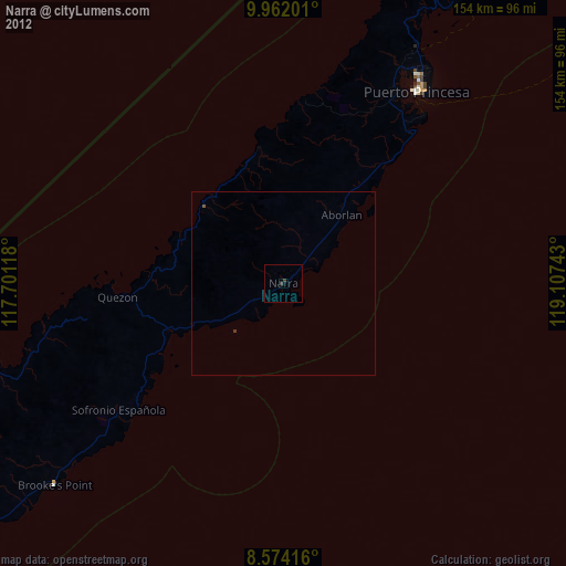
Narra night lights from space
Night Light of Narra (Mimaropa) from space (Philippines) Src. Average luminocity for 10x10km area is 0.4978% and for 50x50km: 0.048%.
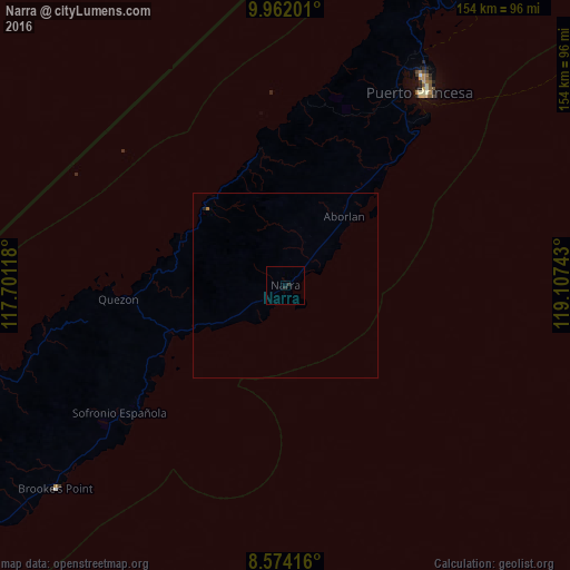
Analysis of Narra night lights 2016
Square area 10x10 km:
 0%
0%90-99
0%80-89
0%70-79
0%60-69
0%50-59
0%40-49
0%30-39
0%20-29
1.73%10-19
0%0-9
98.27%Square area 50x50 km:
0%90-99
0%80-89
0%70-79
0%60-69
0.03%50-59
0%40-49
0%30-39
0%20-29
0.08%10-19
0.02%0-9
99.86%Clear (daylight) street map image can be seen on geolist.org.
Map coordinates:
9° 57' 43.2" North, 117° 42' 4.2" East
9° 16' 7.6" North, 118° 24' 15.5" East
8° 34' 27" North, 119° 6' 26.7" East
Some cities around Narra sort by population:
• Puerto Princesa
63.7 km =39.6 mi,  34°
34°
• Panacan
2.5 km =1.6 mi,  170°
170°
• Quezon
41 km =25.5 mi,  265°
265°
• Panitian
39.8 km =24.7 mi,  241°
241°
• Pañgobilian
79.3 km =49.3 mi,  229°
229°
• San Jose
70.7 km =43.9 mi, 33°
• Eraan
80.5 km =50 mi,  253°
253°
• Ipilan
72.6 km =45.1 mi, 229°
1698103 (p: 28,342)
Sources (retrieved 2019-11-25):
» Earth at Night: Flat Maps 2012, 2016