Taytay night lights from space
Night Light of Taytay (Mimaropa) from space (Philippines) Src. Average luminocity for 10x10km area is 1.8853% and for 50x50km: 0.074%.
Analysis of Taytay night lights 2016
Square area 10x10 km:
 0%
0%90-99
0%80-89
0.87%70-79
0%60-69
0.22%50-59
0.65%40-49
0.87%30-39
0%20-29
0.22%10-19
0.65%0-9
96.54%Square area 50x50 km:
0%90-99
0%80-89
0.03%70-79
0%60-69
0.01%50-59
0.03%40-49
0.03%30-39
0%20-29
0.01%10-19
0.03%0-9
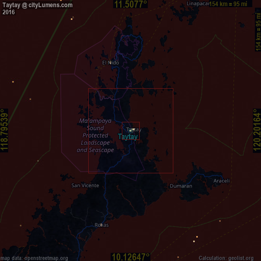
99.86%Clear (daylight) street map image can be seen on geolist.org.
Map coordinates:
11° 30' 27.7" North, 118° 47' 43.4" East
10° 49' 4.4" North, 119° 29' 54.6" East
10° 7' 35.3" North, 120° 12' 5.9" East
Some cities around Taytay sort by population:
• Puerto Princesa
146.1 km =90.8 mi,  214°
214°
• Narra
209.8 km =130.4 mi, 214°
• Roxas
57.7 km =35.9 mi,  196°
196°
• Panacan
211.6 km =131.5 mi, 214°
• Coron
152.2 km =94.6 mi,  30°
30°
• El Nido
42.4 km =26.3 mi,  344°
344°
• Cuyo
165 km =102.5 mi,  88°
88°
• San Jose
139.2 km =86.5 mi,  215°
215°
1682606 (p: 7,717)
Sources (retrieved 2019-11-25):
» Earth at Night: Flat Maps 2012, 2016