Quezon night lights from space
Night Light of Quezon (Mimaropa) from space (Philippines) Src. Average luminocity for 10x10km area is 0% and for 50x50km: 0.0285%.
Analysis of Quezon night lights 2016
Square area 10x10 km:
 0%
0%90-99
0%80-89
0%70-79
0%60-69
0%50-59
0%40-49
0%30-39
0%20-29
0%10-19
0%0-9
100%Square area 50x50 km:
0%90-99
0%80-89
0%70-79
0%60-69
0.03%50-59
0%40-49
0%30-39
0%20-29
0.02%10-19
0.02%0-9
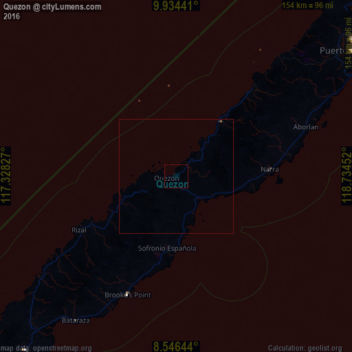
99.93%Clear (daylight) street map image can be seen on geolist.org.
Map coordinates:
9° 56' 3.9" North, 117° 19' 41.8" East
9° 14' 28" North, 118° 1' 53" East
8° 32' 47.2" North, 118° 44' 4.3" East
Some cities around Quezon sort by population:
• Narra
41 km =25.5 mi,  85°
85°
• Panacan
41.4 km =25.7 mi, 89°
• Panitian
17.2 km =10.7 mi,  159°
159°
• Pañgobilian
52.4 km =32.6 mi,  201°
201°
• Batarasa
77.1 km =47.9 mi,  215°
215°
• Eraan
41.3 km =25.7 mi,  241°
241°
• Conduaga
72.9 km =45.3 mi,  234°
234°
• Ipilan
46.4 km =28.8 mi, 197°
1692211 (p: 7,860)
Sources (retrieved 2019-11-25):
» Earth at Night: Flat Maps 2012, 2016