San Jose night lights from space
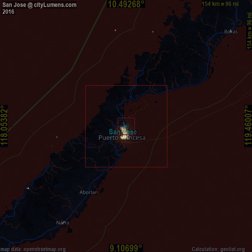
Night Light of San Jose (Mimaropa) from space (Philippines) Src. Average luminocity for 10x10km area is 12.671% and for 50x50km: 1.0297%.
Analysis of San Jose night lights 2016
Square area 10x10 km:
 0%
0%90-99
1.3%80-89
0.65%70-79
2.81%60-69
2.38%50-59
2.6%40-49
1.73%30-39
3.03%20-29
4.55%10-19
7.14%0-9
73.81%Square area 50x50 km:
0%90-99
0.15%80-89
0.17%70-79
0.12%60-69
0.15%50-59
0.22%40-49
0.15%30-39
0.13%20-29
0.23%10-19
0.48%0-9
98.22%Clear (daylight) street map image can be seen on geolist.org.
Map coordinates:
10° 29' 33.6" North, 118° 3' 13.8" East
9° 48' 2" North, 118° 45' 25" East
9° 6' 25.2" North, 119° 27' 36.3" East
Some cities around San Jose sort by population:
• Puerto Princesa
7.2 km =4.5 mi,  199°
199°
• Narra
70.7 km =43.9 mi,  213°
213°
• Roxas
86.6 km =53.8 mi,  48°
48°
• Panacan
72.5 km =45 mi, 211°
• Quezon
101 km =62.8 mi,  231°
231°
• Taytay
139.2 km =86.5 mi,  35°
35°
• Panitian
107.4 km =66.7 mi,  223°
223°
• Ipilan
141.8 km =88.1 mi, 221°
1689554 (p: 6,079)
Sources (retrieved 2019-11-25):
» Earth at Night: Flat Maps 2012, 2016