Pinamalayan night lights from space
Night Light of Pinamalayan (Mimaropa) from space (Philippines) Src. Average luminocity for 10x10km area is 2.1688% and for 50x50km: 0.1274%.
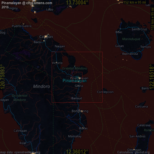
Analysis of Pinamalayan night lights 2016
Square area 10x10 km:
 0%
0%90-99
0%80-89
0.65%70-79
0.22%60-69
0%50-59
0%40-49
1.3%30-39
0.22%20-29
1.73%10-19
1.52%0-9
94.37%Square area 50x50 km:
0%90-99
0%80-89
0.03%70-79
0.01%60-69
0%50-59
0%40-49
0.07%30-39
0.07%20-29
0.11%10-19
0.06%0-9
99.66%Clear (daylight) street map image can be seen on geolist.org.
Map coordinates:
13° 43' 48.1" North, 120° 45' 32.1" East
13° 2' 45.7" North, 121° 27' 43.4" East
12° 21' 36.4" North, 122° 9' 54.6" East
Some cities around Pinamalayan sort by population:
• Calapan
50.8 km =31.6 mi,  323°
323°
• Mansalay
58.5 km =36.4 mi,  182°
182°
• Roxas
51.8 km =32.2 mi,  173°
173°
• Bansud
20.1 km =12.5 mi, 181°
• Victoria
24.7 km =15.3 mi,  306°
306°
• Canubing No 2
49.1 km =30.5 mi, 313°
• Gloria
7 km =4.3 mi, 175°
• Socorro
7.3 km =4.5 mi,  288°
288°
1693618 (p: 43,521)
Sources (retrieved 2019-11-25):
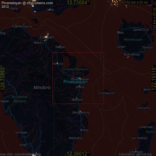
» Earth at Night: Flat Maps 2012, 2016